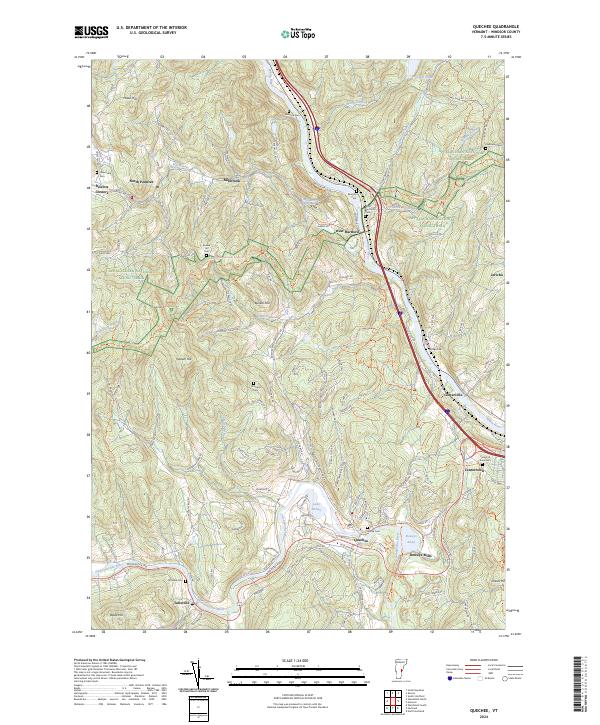
2024 Map of Quechee
USGS Topo · Published 2024About this map
The White River and Ottauquechee River valleys define this Vermont landscape, where narrow floodplains support a string of long-established hamlets. West Hartford sits at a prominent bend in the White River, while Quechee and Deweys Mills occupy the southern reaches near Deweys Pond. The area is notably rich in early burial grounds, with family and community sites like Simonds Cem, Bunker Hill Cem, and the Savage Cem scattered across the uplands. Steep terrain rises between the river courses, including Thistle Hill and Seaver Hill, which are crossed by the Appalachian National Scenic Trail. The road network reflects the difficult topography, with routes like Old Kings Hwy and Sugarbush Farm Rd winding through the hills to connect outlying settlements like North Pomfret and Millbrook. This survey captures the enduring settlement patterns of Windsor County, where modern infrastructure follows the same natural corridors used by early residents.
Find a feature on this map
126 named features on this map. Tap any name to fly to it.
Don’t see what you’re looking for? This feature index may not catch every label — zoom into the map to look around manually.
Map Details
Editions of this 2024 Quechee Map
This is the sole edition of this map. No revisions or reprints were ever made.
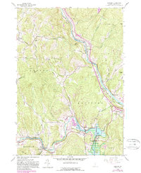
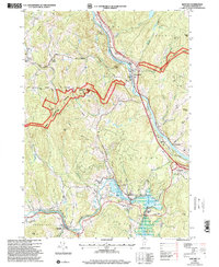
Historical Maps of Pomfret Through Time
3 maps found