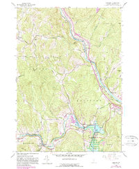
1959 Map of Quechee
USGS Topo · Published 1988About this map
The Ottauquechee River carves through the landscape of Windsor County, creating the dramatic Quechee Gorge near the settlement of Quechee. This 1950s era survey, updated with late-20th-century photorevisions, reveals a network of small Vermont villages and family-named landmarks. Industry and transport are evident at Deweys Mills and the Reservoir, while the White River flows past West Hartford in the north. The map is a vital resource for tracing local heritage, noting numerous rural burial grounds such as Babcock Cem and Bunker Hill Cem. The inclusion of the Appalachian Trail and the National Scenic Trail highlights the region's long-standing connection to the outdoors, even as purple revisions indicate the growth of road infrastructure like the local interchange near Centerville.
Find a feature on this map
44 named features on this map. Tap any name to fly to it.
Don’t see what you’re looking for? This feature index may not catch every label — zoom into the map to look around manually.
Map Details
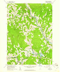
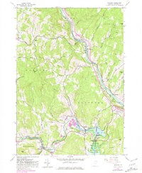
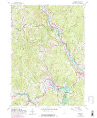
Editions of this 1959 Quechee Map
5 editions found

Other maps of this area

1896 · Strafford
USGS Topo · 1:62,500

1906 · Hanover
USGS Topo · 1:62,500

1908 · Hanover
USGS Topo · 1:62,500

1911 · Woodstock
USGS Topo · 1:62,500

1913 · Woodstock
USGS Topo · 1:62,500

1919 · Royalton
USGS Topo · 1:62,500

1924 · Randolph
USGS Topo · 1:48,000

1926 · Randolph
USGS Topo · 1:62,500

1943 · Woodstock
USGS Topo · 1:62,500

1944 · Strafford
USGS Topo · 1:62,500