Loading...
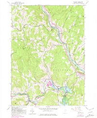
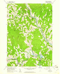
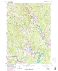
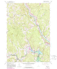
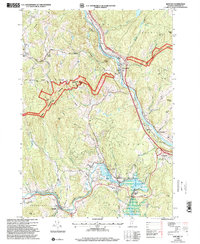
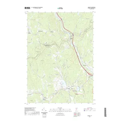
Loading map...1959 Map of Quechee
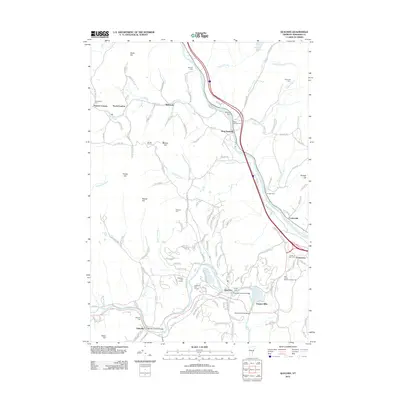
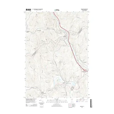
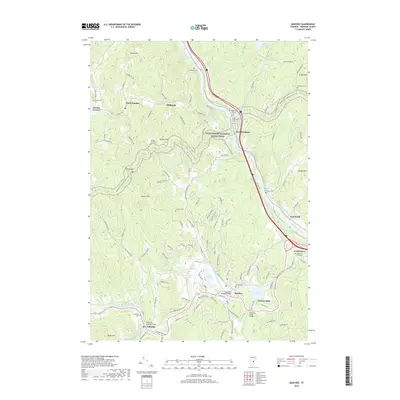
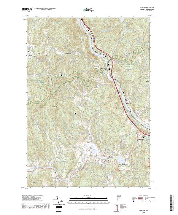
USGS Topo · Published 1981About this map
White River and Ottauquechee River cut through the Windsor County landscape, framing a region defined by its steep hills and river-oriented industry. The central valley is dominated by the Central Vermont Railway, which follows the curves of the water through West Hartford and Centerville. To the south, the dramatic Quechee Gorge and Reservoir mark the vicinity of Deweys Mills, where the local terrain transitions from high ridges like Thistle Hill and Bunker Hill down to the mill sites.
Find a feature on this map
75 named features on this map. Tap any name to fly to it.
Don’t see what you’re looking for? This feature index may not catch every label — zoom into the map to look around manually.
Map Details
Date Portrayed1959
Date Published1981
PublisherU.S. Geological Survey
Map TypeTopographic
Scale1:24,000
Physical Dimensions22 x 26.9 inches
Editions of this 1959 Quechee Map
5 editions found

Historical Maps of Hartford Through Time
7 maps found
Featured Locations
Source Details
SourceU.S. Geological Survey
CopyrightPublic Domain