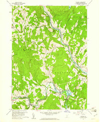
1959 Map of Quechee
USGS Topo · Published 1961About this map
The Ottauquechee River carves through the landscape of Windsor County, defining the industrial and natural character of the region in the late 1950s. Near the dramatic Quechee Gorge, the village of Quechee and the neighboring Deweys Mills sit adjacent to Deweys Pond, where a controlled inundation area is noted around the Reservoir. The Central Vermont Railway follows the path of the White River through West Hartford, serving as a vital transportation artery alongside roads like The Kings Highway and the Appalachian Trail.
Find a feature on this map
68 named features on this map. Tap any name to fly to it.
Don’t see what you’re looking for? This feature index may not catch every label — zoom into the map to look around manually.
Map Details
Editions of this 1959 Quechee Map
5 editions found

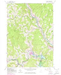
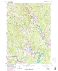
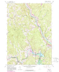
Other maps of this area

1896 · Strafford
USGS Topo · 1:62,500

1906 · Hanover
USGS Topo · 1:62,500

1908 · Hanover
USGS Topo · 1:62,500

1911 · Woodstock
USGS Topo · 1:62,500

1913 · Woodstock
USGS Topo · 1:62,500

1919 · Royalton
USGS Topo · 1:62,500

1924 · Randolph
USGS Topo · 1:48,000

1926 · Randolph
USGS Topo · 1:62,500

1943 · Woodstock
USGS Topo · 1:62,500

1944 · Strafford
USGS Topo · 1:62,500