
Loading...
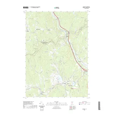
Loading map...1959 Map of Quechee
USGS Topo · Published 1971About this map
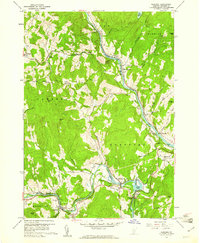
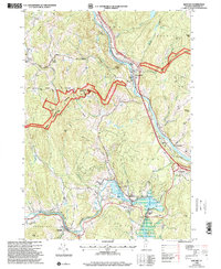
Quechee Gorge and the Ottauquechee River dominate the southern portion of this landscape, where the Central Vermont railroad line traces the river's winding path through Quechee. The map reveals a transition from the industrial activity at Deweys Mills and the nearby Reservoir to the high ridges of Bunker Hill and Thistle Hill. This 1950s survey documents a network of historic thoroughfares, including The Kings Highway and the Old West Hartford-Quechee Road, which once connected these hillside farming communities.
Find a feature on this map
81 named features on this map. Tap any name to fly to it.
Don’t see what you’re looking for? This feature index may not catch every label — zoom into the map to look around manually.
Map Details
Date Portrayed1959
Date Published1971
PublisherU.S. Geological Survey
Map TypeTopographic
Scale1:24,000
Physical Dimensions22 x 26.9 inches
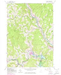
Editions of this 1959 Quechee Map
5 editions found
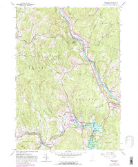
Historical Maps of Hartford Through Time
7 maps found
Featured Locations
Source Details
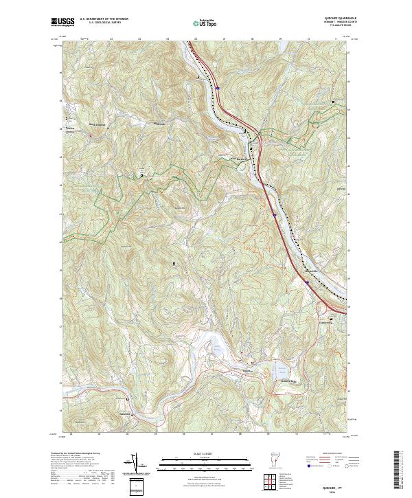
SourceU.S. Geological Survey
CopyrightPublic Domain