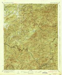
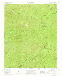
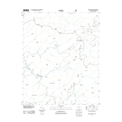
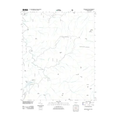
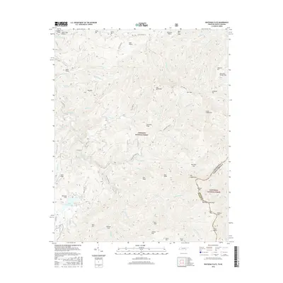
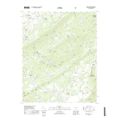
1933 Map of Rafter
USGS Topo · Published 1933About this map
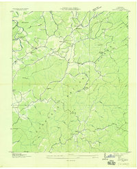
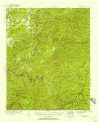
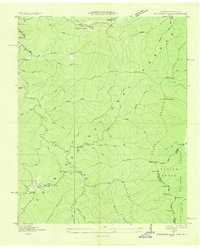
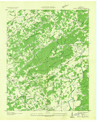
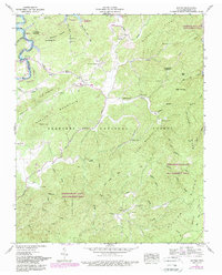
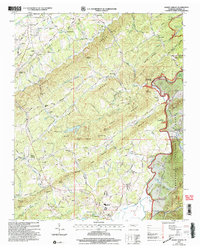
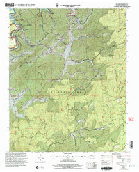
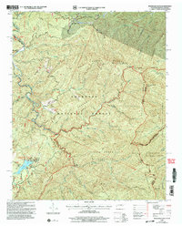
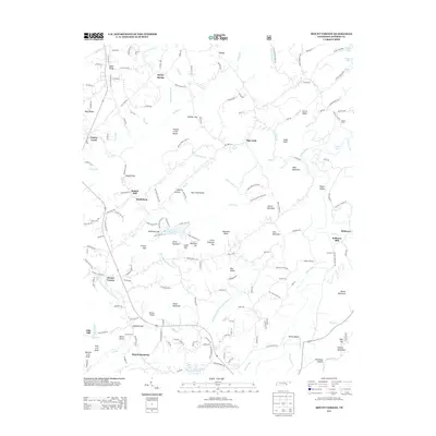
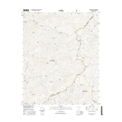
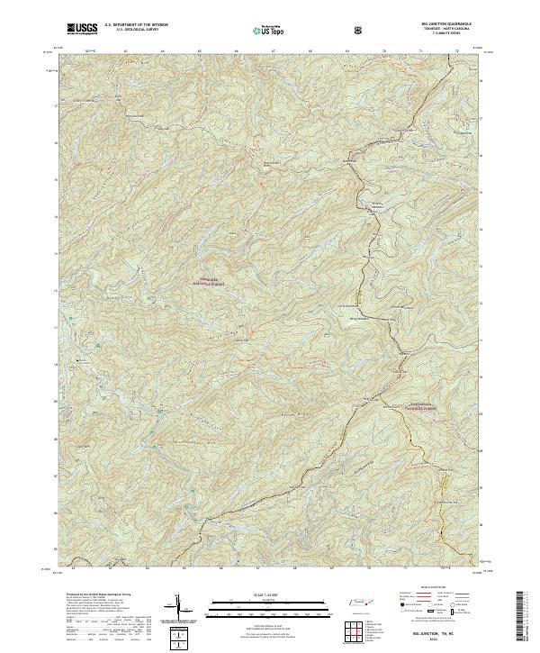
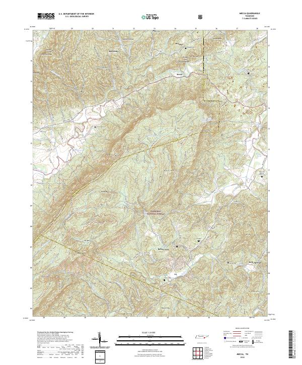
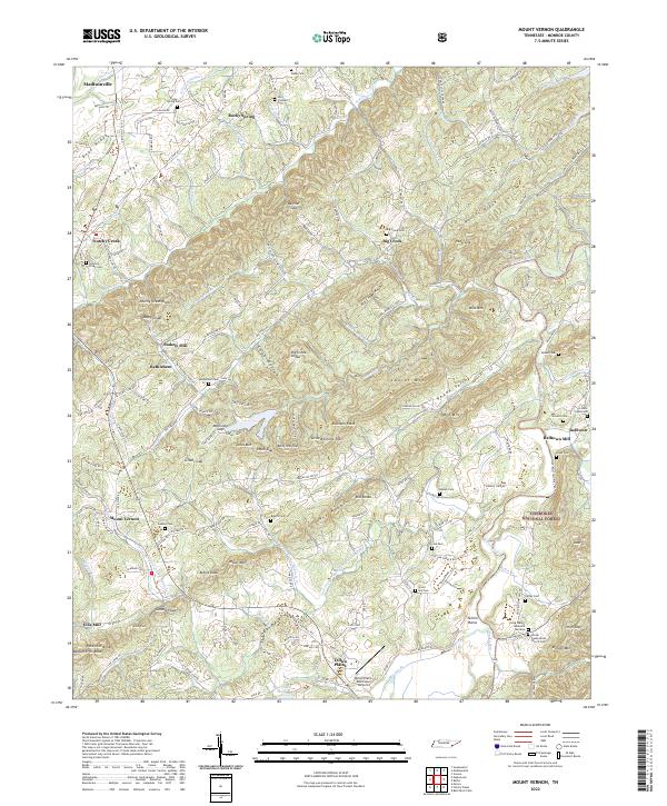
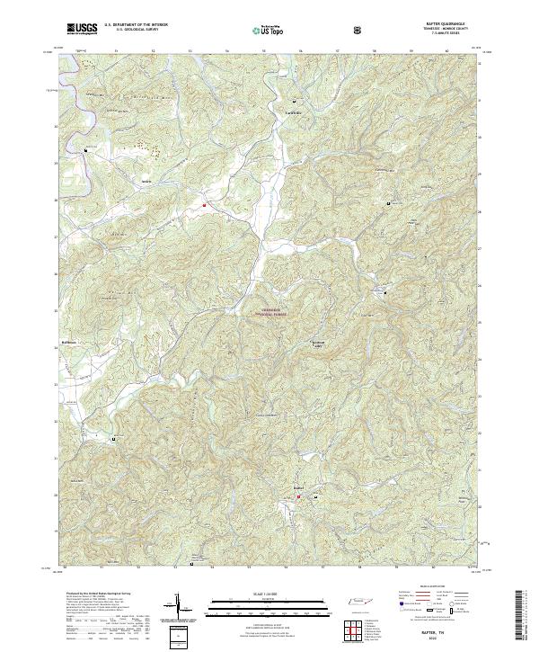
Cherokee National Forest dominates this topographic study, revealing a complex network of ridges and mountain hollows in Monroe County. The landscape is defined by its many educational and spiritual centers, such as Glenndale Sch, Antioch Sch, and New Providence Ch, which served small rural communities like Tariffville and Acorn. The drainage patterns are intricate, with Ballplay Creek and the Tellico River cutting through the terrain between heights like Lynn Carden Mtn and Canebrake Mtn. This map captures a moment when local life was centered around these isolated institutions and family-named landmarks like the Sloan Bridge or Stratton Guide trail. The presence of numerous named branches and runs, including Gowmire Run and Hampton Branch, underscores the importance of water access for the small settlements found at Rafter and Belltown.
Find a feature on this map
70 named features on this map. Tap any name to fly to it.
Don’t see what you’re looking for? This feature index may not catch every label — zoom into the map to look around manually.
Map Details
Editions of this 1933 Rafter Map
This is the sole edition of this map. No revisions or reprints were ever made.
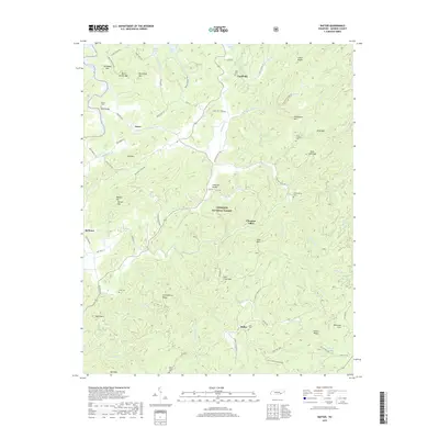
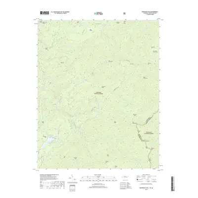
Historical Maps of Tariffville Through Time
53 maps found

1927 Big Junction
Monroe County, TN

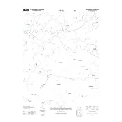
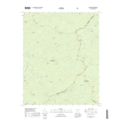
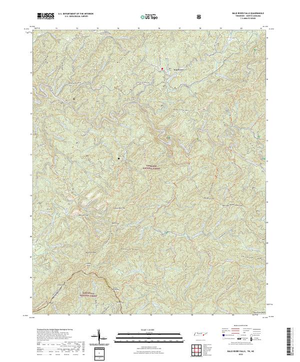
1933 Bald River Falls
Monroe County, TN
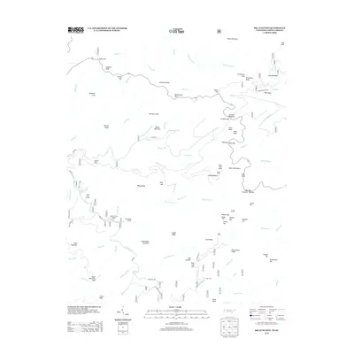
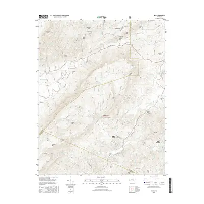
1933 Haw Knob
Monroe County, TN
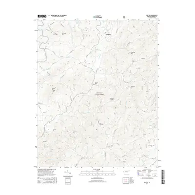
1933 Rafter
Monroe County, TN
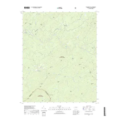
1933 Whiteoak Flats
Monroe County, TN

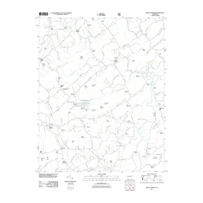
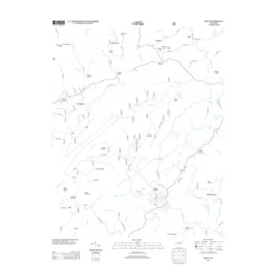
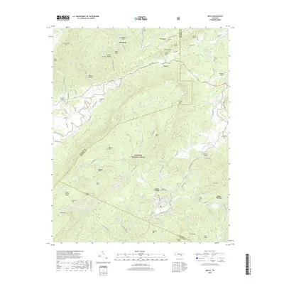
1934 Mecca
Monroe County, TN
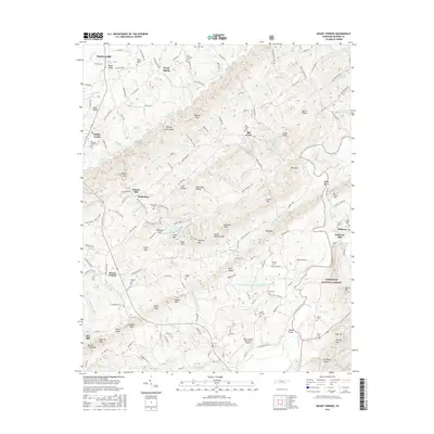
1934 Mount Vernon
Monroe County, TN

1935 Tellico
Monroe County, TN
1937 Haw Knob
Monroe County, TN
1943 Tellico
Monroe County, TN
1946 Mount Vernon
Monroe County, TN
1957 Bald River Falls
Monroe County, TN
1957 Big Junction
Monroe County, TN
1957 Mecca
Monroe County, TN
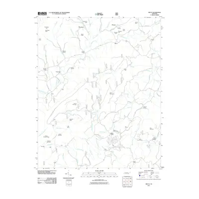
1957 Rafter
Monroe County, TN
1957 Whiteoak Flats
Monroe County, TN
1984 Rafter
Monroe County, TN
2003 Bald River Falls
Monroe County, TN
2003 Big Junction
Monroe County, TN
2003 Mecca
Monroe County, TN
2003 Mount Vernon
Monroe County, TN
2003 Rafter
Monroe County, TN
2003 Whiteoak Flats
Monroe County, TN
2011 Bald River Falls
Monroe County, TN
2011 Big Junction
Monroe County, TN
2011 Mecca
Monroe County, TN
2011 Mount Vernon
Monroe County, TN
2011 Rafter
Monroe County, TN
2011 Whiteoak Flats
Monroe County, TN
2013 Bald River Falls
Monroe County, TN
2013 Big Junction
Monroe County, TN
2013 Mecca
Monroe County, TN
2013 Mount Vernon
Monroe County, TN
2013 Rafter
Monroe County, TN
2013 Whiteoak Flats
Monroe County, TN
2016 Bald River Falls
Monroe County, TN
2016 Big Junction
Monroe County, TN
2016 Mecca
Monroe County, TN
2016 Mount Vernon
Monroe County, TN
2016 Rafter
Monroe County, TN
2016 Whiteoak Flats
Monroe County, TN
2019 Bald River Falls
Monroe County, TN
2019 Big Junction
Monroe County, TN
2019 Mecca
Monroe County, TN
2019 Mount Vernon
Monroe County, TN
2019 Rafter
Monroe County, TN
2019 Whiteoak Flats
Monroe County, TN
2022 Bald River Falls
Monroe County, TN
2022 Big Junction
Monroe County, TN
2022 Mecca
Monroe County, TN
2022 Mount Vernon
Monroe County, TN
2022 Rafter
Monroe County, TN
2022 Whiteoak Flats
Monroe County, TN