
1914 Map of Murphy
USGS Topo · Published 1914About this map
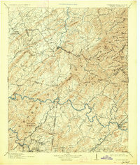
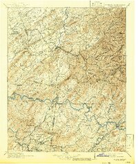
The Red Knobs and Starr Mountain dominate the western terrain of this 1914 reconnaissance survey, illustrating the rugged borderlands between Tennessee and North Carolina. The Hiwassee River snakes through the center of the sheet, serving as a primary corridor for transportation and settlement before the widespread development of modern highways. Notable landmarks such as Prince Ferry and several stations along the Louisville and Nashville Railroad point to a landscape defined by river crossings and the expanding reach of the rail industry.
Find a feature on this map
183 named features on this map. Tap any name to fly to it.
Don’t see what you’re looking for? This feature index may not catch every label — zoom into the map to look around manually.
Map Details
Editions of this 1914 Murphy Map
3 editions found
Other maps of this area

1886 · Dalton
USGS Topo · 1:125,000

1886 · Cleveland
USGS Topo · 1:125,000

1886 · Knoxville
USGS Topo · 1:125,000

1886 · Dahlonega
USGS Topo · 1:125,000

1887 · Kingston
USGS Topo · 1:125,000

1888 · Ellijay
USGS Topo · 1:125,000

1891 · Kingston
USGS Topo · 1:125,000

1892 · Dahlonega
USGS Topo · 1:125,000

1892 · Cleveland
USGS Topo · 1:125,000

1892 · Ellijay
USGS Topo · 1:125,000