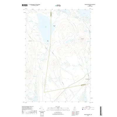
2018 Map of Ragged Mountain
USGS Topo · Published 2018About this map
Ragged Mtn serves as the central topographic anchor of this survey, surrounded by an intricate network of glacial lakes and northern Maine waterways. To the west, the expansive Upper Jo-Mary Lake is punctuated by Black Island, while the northern reaches include portions of Turkey Tail Lake and South Twin Lake. The landscape is defined by its drainage patterns, notably the Wangan Brook Deadwater and the East Branch Pleasant River in the southwest corner.
Find a feature on this map
30 named features on this map. Tap any name to fly to it.
Don’t see what you’re looking for? This feature index may not catch every label — zoom into the map to look around manually.
Map Details
Editions of this 2018 Ragged Mountain Map
This is the sole edition of this map. No revisions or reprints were ever made.
Other maps of this area

1940 · Sebec
USGS Topo · 1:48,000

1943 · Sebec
USGS Topo · 1:62,500

1947 · Schoodic
USGS Topo · 1:62,500

1949 · Schoodic
USGS Topo · 1:62,500

1951 · Norcross
USGS Topo · 1:62,500

1952 · Jo-Mary Mountain
USGS Topo · 1:62,500

1954 · Millinocket
USGS Topo · 1:250,000

1958 · Millinocket
USGS Topo · 1:250,000

1960 · Millinocket
USGS Topo · 1:250,000
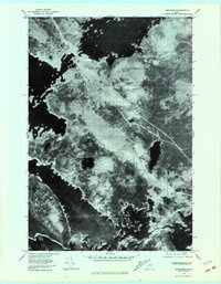
1978 · Norcross
USGS Topo · 1:24,000