2022 Map of Ramona
USGS Topo · Published 2022About this map
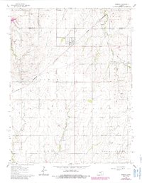
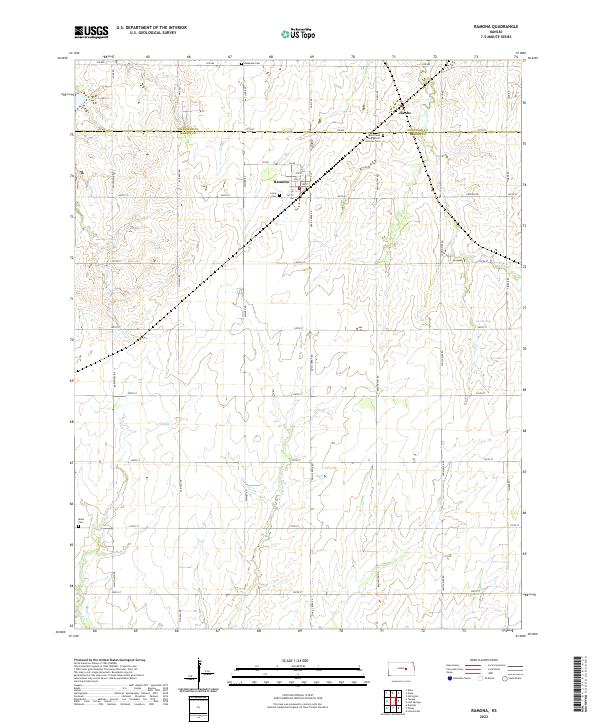
Ramona sits at the heart of this Marion County survey, organized around a traditional grid of streets including 1st St and D St. The surrounding landscape is defined by the rural agricultural patterns of central Kansas, where the headwaters of several drainages begin their winding paths. The northern edge of the sheet follows the boundary between Dickinson and Marion Counties, marked by the community of Jacobs. Genealogists will find significant local history preserved in the area's numerous burial grounds, such as Rosebank Cem to the north and the Saint Pauls Evangelical Lutheran Cem situated near the county line. The terrain is segmented by a precise section-line road network, including Nighthawk Rd and Pawnee Rd, while water features like Lyon Cr and Lost Spring cut through the rolling fields.
Find a feature on this map
52 named features on this map. Tap any name to fly to it.
Don’t see what you’re looking for? This feature index may not catch every label — zoom into the map to look around manually.
Map Details
Editions of this 2022 Ramona Map
This is the sole edition of this map. No revisions or reprints were ever made.