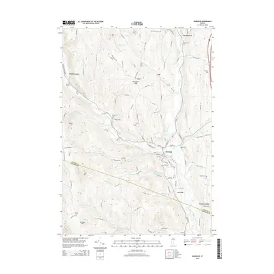
2015 Map of Randolph
USGS Topo · Published 2015About this map
Randolph serves as the central hub of this Central Vermont landscape, situated where the Third Branch White River meets various mountain streams. The valley floor is marked by small settlements like Beanville and Dowdey Corner, while the surrounding hillsides are punctuated by numerous family and community burial grounds, including the Roswell Ford Cem, Hutchinson-Mann Cem, and Chadwick Cem. The map illustrates a complex network of rural roads such as Battles Brook Rd and Hockman Hill Rd that connect isolated farms and hilltop hamlets. These highland areas, including Braintree Hill and Hebard Hill, rise sharply from the riverbanks. The abundance of water sources like Ayers Brook and Smith Brook feeding into the main river branch highlights the traditional Vermont pattern of valley-centered commerce surrounded by upland agricultural and timber lands.
Find a feature on this map
122 named features on this map. Tap any name to fly to it.
Don’t see what you’re looking for? This feature index may not catch every label — zoom into the map to look around manually.
Map Details
Editions of this 2015 Randolph Map
This is the sole edition of this map. No revisions or reprints were ever made.
Other maps of this area

1915 · Rochester
USGS Topo · 1:62,500

1917 · Rochester
USGS Topo · 1:62,500

1919 · Royalton
USGS Topo · 1:62,500

1919 · Lincoln Mountain
USGS Topo · 1:62,500

1920 · Lincoln Mountain
USGS Topo · 1:48,000

1921 · Lincoln Mountain
USGS Topo · 1:62,500

1922 · Barre
USGS Topo · 1:48,000

1924 · Barre
USGS Topo · 1:62,500

1924 · Randolph
USGS Topo · 1:48,000

1926 · Randolph
USGS Topo · 1:62,500