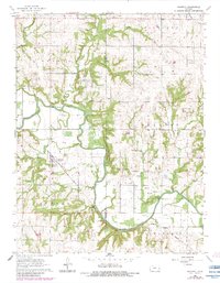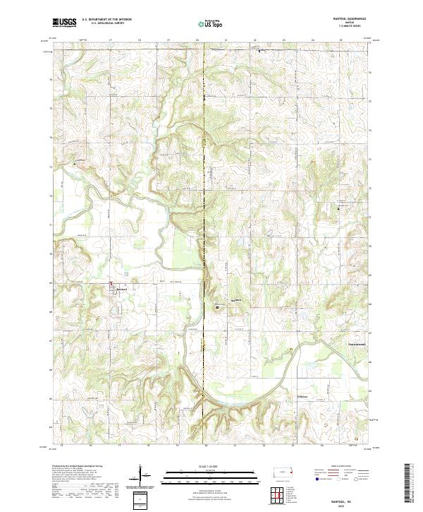
2022 Map of Rantoul
USGS Topo · Published 2022About this map
The Marais des Cygnes River winds through the heart of this Franklin and Miami County landscape, carving a wide valley that historically dictated the placement of early settlements and road networks. The village of Rantoul sits in the western portion of the map, while Stanton and the outskirts of Osawatomie define the eastern side. The area's rural heritage is documented through several established burial grounds, including the Howard Cem tucked near Hickory Cr and the Stanton Cem located just west of its namesake settlement.
Find a feature on this map
51 named features on this map. Tap any name to fly to it.
Don’t see what you’re looking for? This feature index may not catch every label — zoom into the map to look around manually.
Map Details
Editions of this 2022 Rantoul Map
This is the sole edition of this map. No revisions or reprints were ever made.