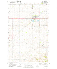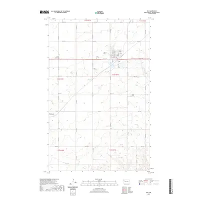
1911 Map of Ray
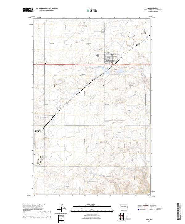
USGS Topo · Published 1932About this map
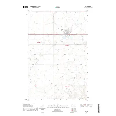
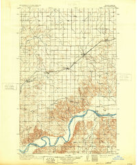
The Great Northern railroad corridor dictates the settlement pattern across this portion of Williams County, linking early 20th-century townsites like Ray, Wheelock, and Epping. To the south, the landscape shifts dramatically as the prairie breaks toward the deep valley of the Missouri River. This 1906–1909 survey captures the region just as the homesteading era was transforming the plains into a grid of townships. Along the river, the Nesson Ferry provided a critical crossing point between Williams and McKenzie counties near the settlement of Nesson. The map also details the tributary system, including Tobacco Garden Creek and East Fork Little Muddy Creek, which were vital water sources for early ranchers. Other small centers of activity include Temple and the inland settlement of Angie, showing a nascent rural network before the dominance of modern highways.
Find a feature on this map
21 named features on this map. Tap any name to fly to it.
Don’t see what you’re looking for? This feature index may not catch every label — zoom into the map to look around manually.
Map Details
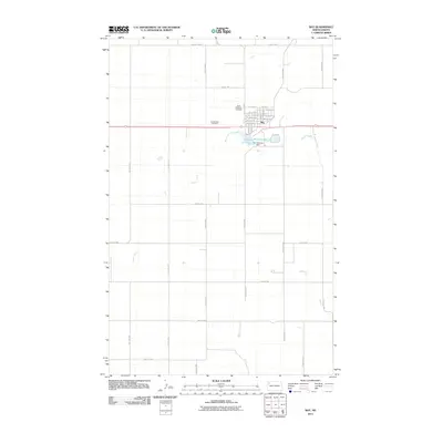
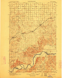
Editions of this 1911 Ray Map
2 editions found
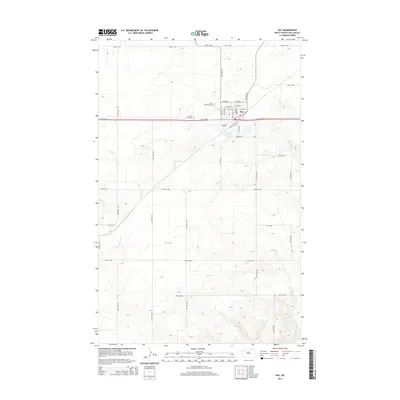
Historical Maps of Ray Through Time
7 maps found