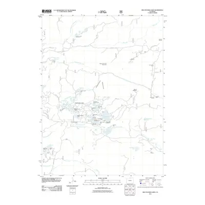
2011 Map of Red Feather Lakes
USGS Topo · Published 2011About this map
Red Feather Lakes serves as the centerpiece of this high-elevation Colorado landscape, characterized by a dense network of reservoirs and alpine water bodies. The 2011 survey reveals an intricate hydraulic system managed by numerous structures, including the Nakomis Lake Dam and Mitchell Number 1 Dam. This region, traditionally shaped by ranching and resource extraction, is anchored by the Red Feather Ranch and the Maxwell Ranch, while the Rainbow Lode Mine provides evidence of the area's mineral interests.
Find a feature on this map
74 named features on this map. Tap any name to fly to it.
Don’t see what you’re looking for? This feature index may not catch every label — zoom into the map to look around manually.
Map Details
Editions of this 2011 Red Feather Lakes Map
This is the sole edition of this map. No revisions or reprints were ever made.
Other maps of this area

1907 · Livermore
USGS Topo · 1:125,000

1909 · Livermore
USGS Topo · 1:125,000

1916 · Home
USGS Topo · 1:125,000

1920 · Home
USGS Topo · 1:125,000

1954 · Greeley
USGS Topo · 1:250,000

1957 · Greeley
USGS Topo · 1:250,000

1958 · Greeley
USGS Topo · 1:250,000

1960 · Haystack Gulch
USGS Topo · 1:24,000

1961 · Greeley
USGS Topo · 1:250,000

1962 · Kinikinik
USGS Topo · 1:24,000