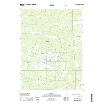
2019 Map of Red Feather Lakes
USGS Topo · Published 2019About this map
Red Feather Lakes serves as the centerpiece of this high-country Larimer County map, surrounded by a dense network of mountain waters and recreation areas within the Roosevelt National Forest. The landscape is defined by its numerous reservoirs and natural basins, including Dowdy Lake, Parvin Lake, and West Lake, which are interconnected by drainages like the S Lone Pine Cr. The presence of the S Pine Supply Ditch illustrates the region's managed water systems designed to sustain these alpine communities.
Find a feature on this map
68 named features on this map. Tap any name to fly to it.
Don’t see what you’re looking for? This feature index may not catch every label — zoom into the map to look around manually.
Map Details
Editions of this 2019 Red Feather Lakes Map
This is the sole edition of this map. No revisions or reprints were ever made.
Other maps of this area

1907 · Livermore
USGS Topo · 1:125,000

1909 · Livermore
USGS Topo · 1:125,000

1916 · Home
USGS Topo · 1:125,000

1920 · Home
USGS Topo · 1:125,000

1954 · Greeley
USGS Topo · 1:250,000

1957 · Greeley
USGS Topo · 1:250,000

1958 · Greeley
USGS Topo · 1:250,000

1960 · Haystack Gulch
USGS Topo · 1:24,000

1961 · Greeley
USGS Topo · 1:250,000

1962 · Kinikinik
USGS Topo · 1:24,000