2023 Map of Reedy
USGS Topo · Published 2023About this map
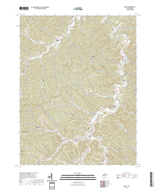
Reedy serves as the primary hub of activity in this section of West Virginia, where Main St and Parkersburg Rd intersect near the convergence of the Right Fork Reedy Creek and Middle Fork Reedy Creek. The landscape is defined by its intricate drainage patterns and hollows, such as Morris Hollow and Buffalo Hollow, which have historically dictated the placement of small communities and family farmsteads. Genealogical interest is particularly high due to the density of family-named cemeteries scattered throughout the hills, including the McClung Cem, Baker Cem, and Boggs Cem.
Find a feature on this map
115 named features on this map. Tap any name to fly to it.
Don’t see what you’re looking for? This feature index may not catch every label — zoom into the map to look around manually.
Map Details
Editions of this 2023 Reedy Map
This is the sole edition of this map. No revisions or reprints were ever made.
