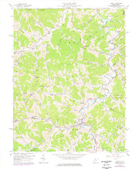
1957 Map of Reedy
USGS Topo · Published 1976About this map
Reedy Creek carves a winding path through this corner of the Appalachian Plateau, where the borders of Wirt Co and Roane Co meet. The settlement of Reedy serves as a local hub, situated at the confluence of the Left Fork and Right Fork. The landscape is defined by its deep narrow valleys and numerous named runs, such as Cranesnest Run and McCutcheon Run, which provided the framework for early settlement.
Find a feature on this map
71 named features on this map. Tap any name to fly to it.
Don’t see what you’re looking for? This feature index may not catch every label — zoom into the map to look around manually.
Map Details
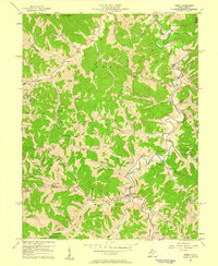
Editions of this 1957 Reedy Map
2 editions found
Other maps of this area

1906 · Elizabeth
USGS Topo · 1:62,500

1906 · Belleville
USGS Topo · 1:62,500

1907 · Spencer
USGS Topo · 1:62,500

1907 · Ripley
USGS Topo · 1:62,500

1924 · Belleville
USGS Topo · 1:62,500

1924 · Elizabeth
USGS Topo · 1:62,500

1926 · Elizabeth
USGS Topo · 1:62,500

1926 · Belleville
USGS Topo · 1:62,500

1926 · Ripley
USGS Topo · 1:62,500

1928 · Spencer
USGS Topo · 1:62,500