
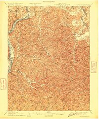
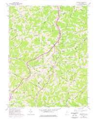
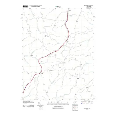
1924 Map of Belleville
USGS Topo · Published 1954About this map
The Ohio River forms a dominant boundary in this mid-1920s topographical study, carving a deep valley through the dissected plateau of Wood County. Communities like Belleville, Hockingport, and Meldahl line the riverbanks, where the Baltimore and Ohio RR tracks follow the narrow terrace between the water and the rising hills. Inland, the landscape is defined by a dense network of local schools and churches that served small, creek-bottom agricultural settlements.
Find a feature on this map
147 named features on this map. Tap any name to fly to it.
Don’t see what you’re looking for? This feature index may not catch every label — zoom into the map to look around manually.
Map Details
Editions of this 1924 Belleville Map
This is the sole edition of this map. No revisions or reprints were ever made.
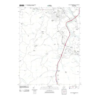
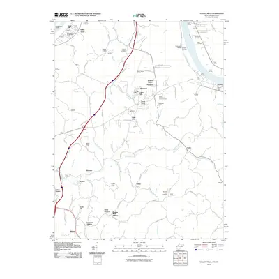
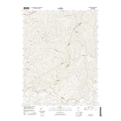
Historical Maps of Parkersburg Through Time
28 maps found
1906 Belleville
Wood County, WV
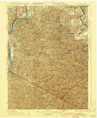
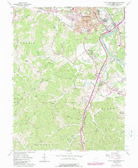
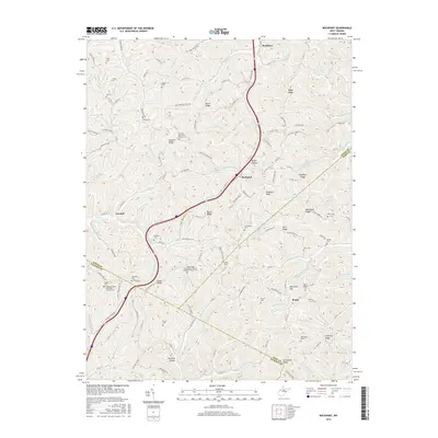
1924 Belleville
Wood County, WV
1926 Belleville
Wood County, WV
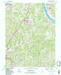
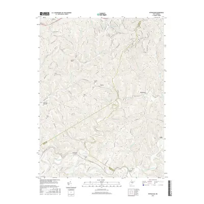
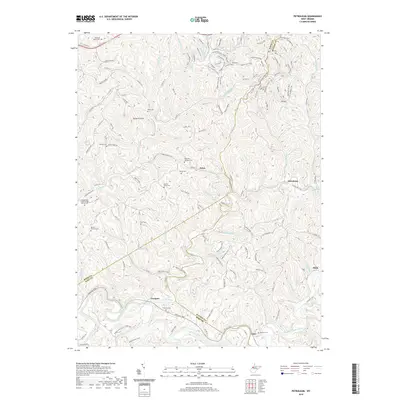
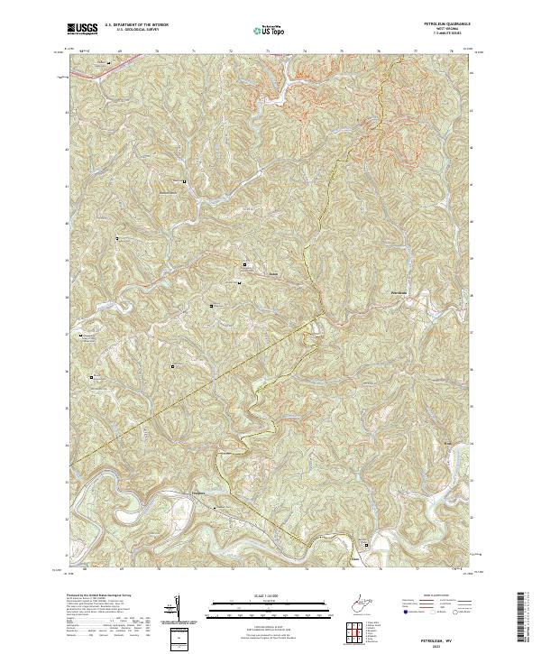
1957 Petroleum
Wood County, WV
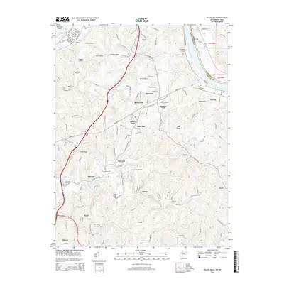
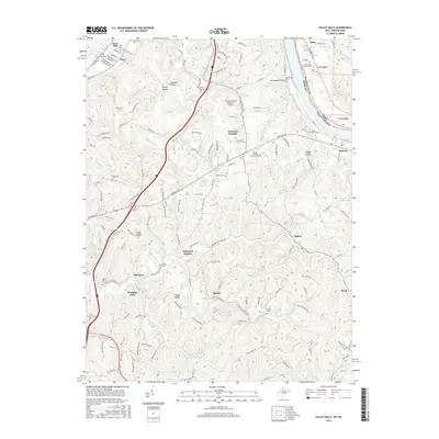
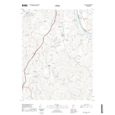
1957 Valley Mills
Wood County, WV
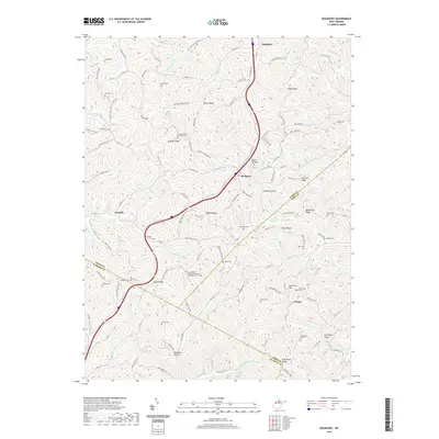
1960 Rockport
Wood County, WV
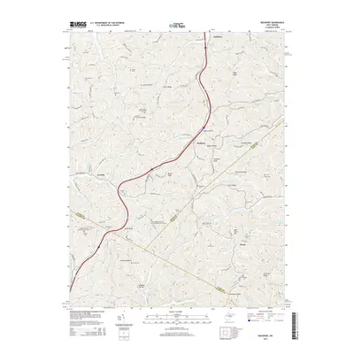
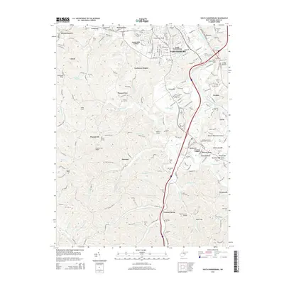
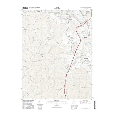
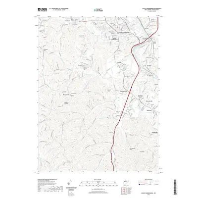
1961 South Parkersburg
Wood County, WV
1994 Valley Mills
Wood County, WV
2010 Petroleum
Wood County, WV
2010 Rockport
Wood County, WV
2010 South Parkersburg
Wood County, WV
2010 Valley Mills
Wood County, WV
2014 Petroleum
Wood County, WV
2014 Rockport
Wood County, WV
2014 South Parkersburg
Wood County, WV
2014 Valley Mills
Wood County, WV
2016 Petroleum
Wood County, WV
2016 Rockport
Wood County, WV
2016 South Parkersburg
Wood County, WV
2016 Valley Mills
Wood County, WV
2019 Petroleum
Wood County, WV
2019 Rockport
Wood County, WV
2019 South Parkersburg
Wood County, WV
2019 Valley Mills
Wood County, WV
2023 Petroleum
Wood County, WV
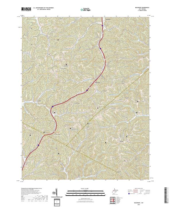
2023 Rockport
Wood County, WV
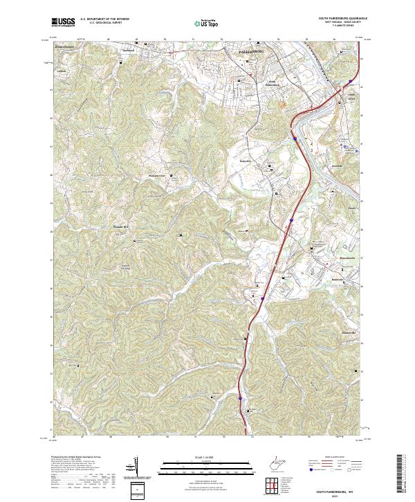
2023 South Parkersburg
Wood County, WV
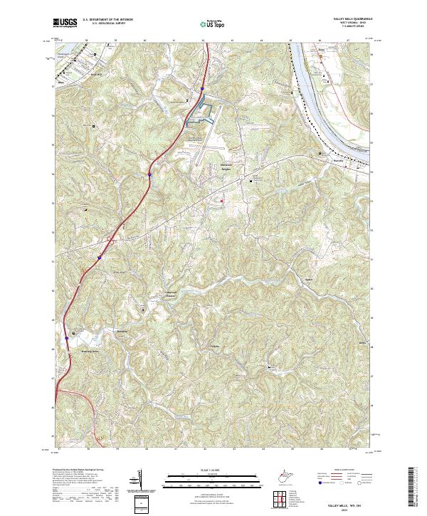
2023 Valley Mills
Wood County, WV