Loading...
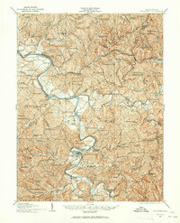
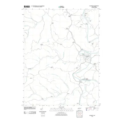
Loading map...1924 Map of Elizabeth
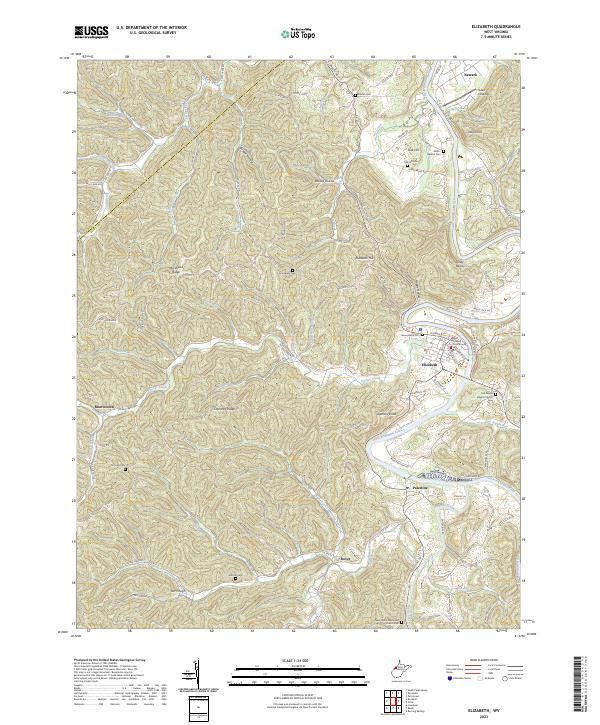
USGS Topo · Published 1965About this map
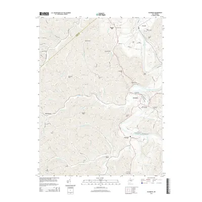
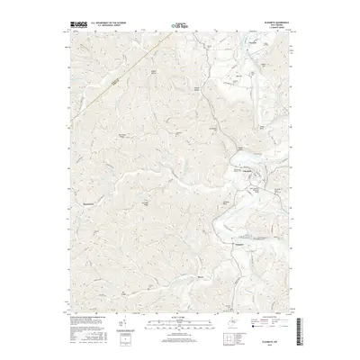
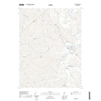
The Little Kanawha River dictates the layout of the land as it snakes through this 1924 West Virginia landscape, linking the county seat of Elizabeth to riverside settlements like Newark and Palestine. This era of the Wirt and Wood County borderlands is defined by a dense network of one-room schoolhouses, such as Mountain Flower School and Rising Sun School, which served the scattered farming communities nestled between the steep ridges of Mc Kusic Hill and Indian Hill.
Find a feature on this map
117 named features on this map. Tap any name to fly to it.
Don’t see what you’re looking for? This feature index may not catch every label — zoom into the map to look around manually.
Map Details
Date Portrayed1924
Date Published1965
PublisherU.S. Geological Survey
Map TypeTopographic
Scale1:62,500
Physical Dimensions16.8 x 20.7 inches
Editions of this 1924 Elizabeth Map
This is the sole edition of this map. No revisions or reprints were ever made.
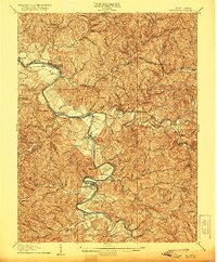
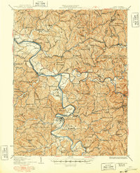
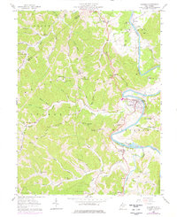
Historical Maps of Elizabeth Through Time
9 maps found
Featured Locations
Source Details
SourceU.S. Geological Survey
CopyrightPublic Domain