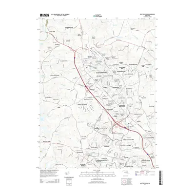
2014 Map of Reisterstown
USGS Topo · Published 2014About this map
Reisterstown serves as the central hub of this Baltimore County landscape, where suburban growth meets the persistent geography of the Worthington Valley. The area is characterized by an extensive collection of memorial and religious sites, including the Maryland National Veterans Cem and several historic Jewish cemeteries such as Oheb Shalom Cem and Tifereth Israel Cem. These sites, along with the Ner Israel Rabbinical Coll, reflect the deep cultural and community roots established here over generations.
Find a feature on this map
287 named features on this map. Tap any name to fly to it.
Don’t see what you’re looking for? This feature index may not catch every label — zoom into the map to look around manually.
Map Details
Editions of this 2014 Reisterstown Map
This is the sole edition of this map. No revisions or reprints were ever made.
Other maps of this area

1892 · Ellicott
USGS Topo · 1:62,500

1894 · Ellicott
USGS Topo · 1:62,500

1894 · Baltimore
USGS Topo · 1:62,500

1899 · Baltimore
USGS Topo · 1:62,500

1900 · Parkton
USGS Topo · 1:62,500

1902 · Parkton
USGS Topo · 1:62,500
1904 · Baltimore
USGS Topo · 1:62,500
1905 · Westminster
USGS Topo · 1:62,500
1906 · Ellicott
USGS Topo · 1:62,500
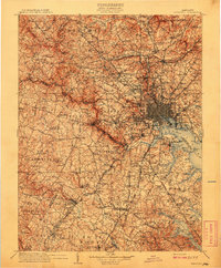
1908 · Patapsco
USGS Topo · 1:125,000