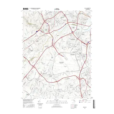
2016 Map of Relay
USGS Topo · Published 2016About this map
The Patapsco River valley serves as the central corridor for this 2016 survey, where the historic Thomas Viaduct remains a vital landmark spanning the water between Relay and West Elkridge. This area is dense with legacy sites, particularly along the B & O RR lines that historically shaped the growth of communities like Saint Denis, Halethorpe, and Linthicum. The landscape is a complex mix of early industrial infrastructure and suburban evolution, characterized by a high concentration of cemeteries such as the United Hebrew Cem and the Griffith Family Cem.
Find a feature on this map
382 named features on this map. Tap any name to fly to it.
Don’t see what you’re looking for? This feature index may not catch every label — zoom into the map to look around manually.
Map Details
Editions of this 2016 Relay Map
This is the sole edition of this map. No revisions or reprints were ever made.
Other maps of this area

1892 · Laurel
USGS Topo · 1:62,500

1892 · Ellicott
USGS Topo · 1:62,500

1894 · Ellicott
USGS Topo · 1:62,500

1894 · Laurel
USGS Topo · 1:62,500

1894 · Baltimore
USGS Topo · 1:62,500

1894 · Relay
USGS Topo · 1:62,500

1897 · Laurel
USGS Topo · 1:62,500

1899 · Baltimore
USGS Topo · 1:62,500

1904 · Baltimore
USGS Topo · 1:62,500

1906 · Ellicott
USGS Topo · 1:62,500