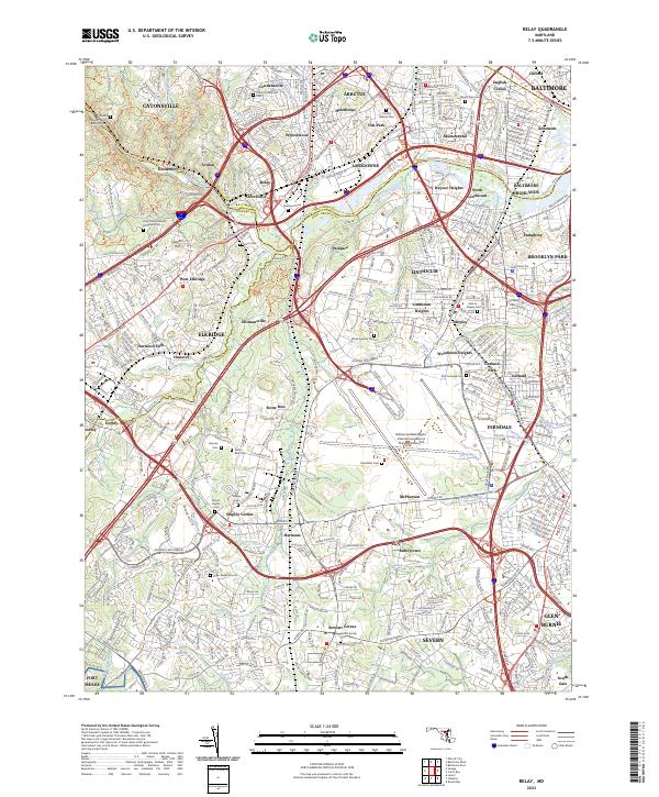
2023 Map of Relay
USGS Topo · Published 2023About this map
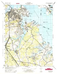
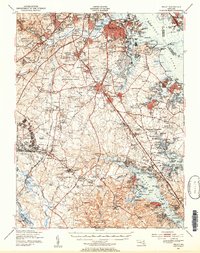
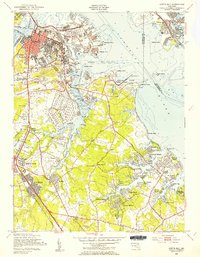
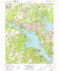
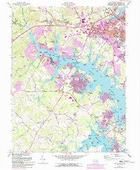
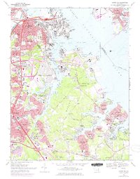
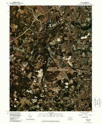
The Patapsco River serves as the central physical divider between Baltimore Co, Howard Co, and Anne Arundel Co, anchoring a landscape defined by its deep transit heritage. The settlement at Relay and the adjacent Saint-Denis illustrate a long history as a rail crossroads, where Amtrak and Csx lines now parallel older transportation corridors. This area is heavily marked by its burial grounds, ranging from the expansive Arbutus Memorial Park and United Hebrew Cem to more intimate family sites like the Griffith Family Cem and the Boyer Burial Ground. The eastern portion of the map is dominated by the northern infrastructure of the Baltimore/Washington International Airport Thurgood Marshall, while established communities such as Catonsville, Arbutus, and Elkridge fill the remaining upland terrain with dense residential networks.
Find a feature on this map
363 named features on this map. Tap any name to fly to it.
Don’t see what you’re looking for? This feature index may not catch every label — zoom into the map to look around manually.
Map Details
Editions of this 2023 Relay Map
This is the sole edition of this map. No revisions or reprints were ever made.
Historical Maps of Allwood Through Time
37 maps found

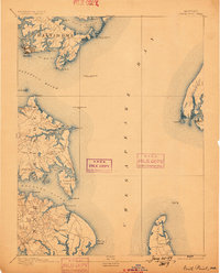
1892 Owensville
Anne Arundel County, MD
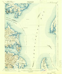
1893 North Point
Anne Arundel County, MD
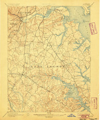
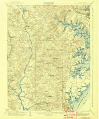
1894 Relay
Anne Arundel County, MD
1895 Owensville
Anne Arundel County, MD
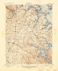
1904 North Point
Anne Arundel County, MD
1905 Owensville
Anne Arundel County, MD
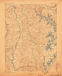
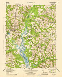
1907 Relay
Anne Arundel County, MD

1943 North Point
Anne Arundel County, MD
1944 Bristol
Anne Arundel County, MD
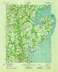
1944 Curtis Bay
Anne Arundel County, MD
1944 Davidsonville
Anne Arundel County, MD

1944 Gibson Island
Anne Arundel County, MD
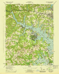
1944 Relay
Anne Arundel County, MD
1944 Round Bay
Anne Arundel County, MD
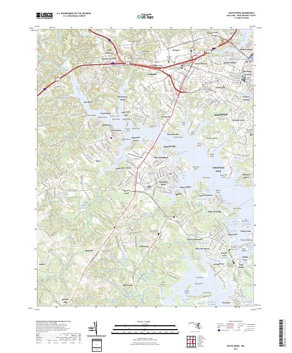
1944 South River
Anne Arundel County, MD
1944 West River
Anne Arundel County, MD
1946 Curtis Bay
Anne Arundel County, MD

1947 North Point
Anne Arundel County, MD
1947 Relay
Anne Arundel County, MD
1949 Curtis Bay
Anne Arundel County, MD
1949 Round Bay
Anne Arundel County, MD
1950 Relay
Anne Arundel County, MD
1954 Gibson Island
Anne Arundel County, MD
1956 Round Bay
Anne Arundel County, MD
1957 Bristol
Anne Arundel County, MD
1957 Curtis Bay
Anne Arundel County, MD
1957 Relay
Anne Arundel County, MD
1957 South River
Anne Arundel County, MD
1969 Curtis Bay
Anne Arundel County, MD
1981 Relay
Anne Arundel County, MD
2023 Bristol
Anne Arundel County, MD
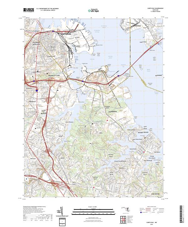
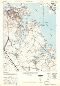
2023 Curtis Bay
Anne Arundel County, MD
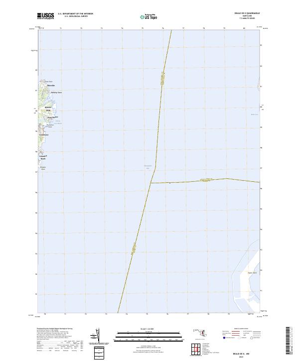
2023 Deale OE E
Anne Arundel County, MD
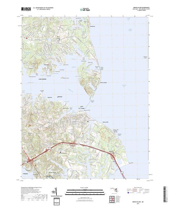
2023 Gibson Island
Anne Arundel County, MD
2023 Relay
Anne Arundel County, MD
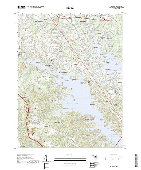
2023 Round Bay
Anne Arundel County, MD
2023 South River
Anne Arundel County, MD