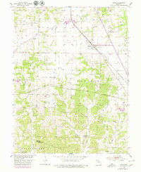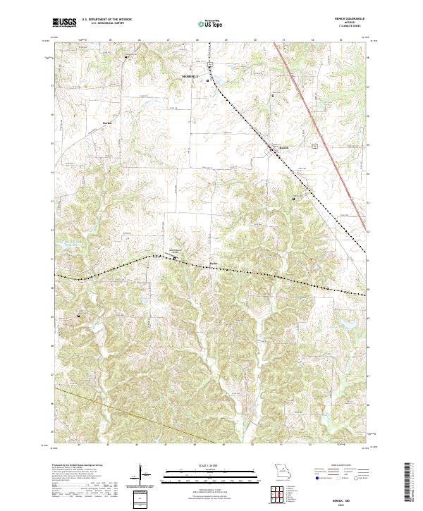
2021 Map of Renick
USGS Topo · Published 2021About this map
Moberly and the village of Renick anchor this Randolph County landscape, where the headwaters of Perche Cr and Little Perche Cr carve through the central Missouri terrain. This modern survey illustrates a patchwork of rural land use, defined by a dense network of county roads like Co RD 195 and Co RD 275 that connect long-established family landholdings. For genealogists, the map is particularly valuable for its precise location of burial grounds such as Anderson Cem, Davis Cem, and Hamilton Cem. Water management is prominent in the western half of the quadrangle, featured by the City of Higbee Reservoir and Gonyea Lake. The transition from the outskirts of the larger municipality of Moberly to the quieter unincorporated areas like Harkes and Ryder reflects the enduring agricultural and residential character of the region south of the main rail hubs.
Find a feature on this map
87 named features on this map. Tap any name to fly to it.
Don’t see what you’re looking for? This feature index may not catch every label — zoom into the map to look around manually.
Map Details
Editions of this 2021 Renick Map
This is the sole edition of this map. No revisions or reprints were ever made.