
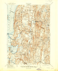
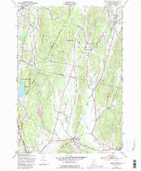
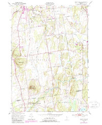
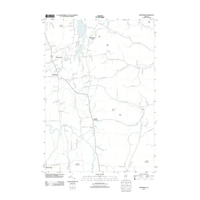
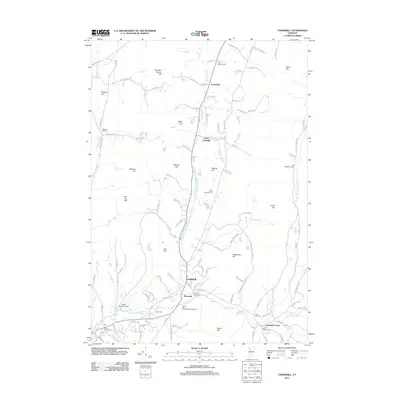
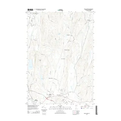
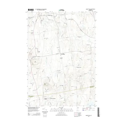
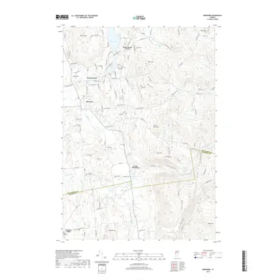
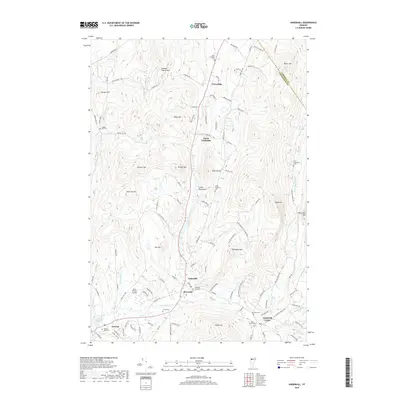
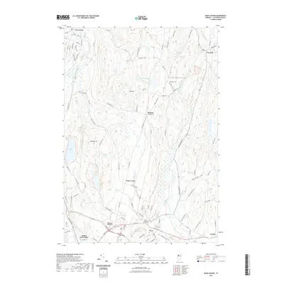
1921 Map of Richmond
USGS Topo · Published 1921About this map
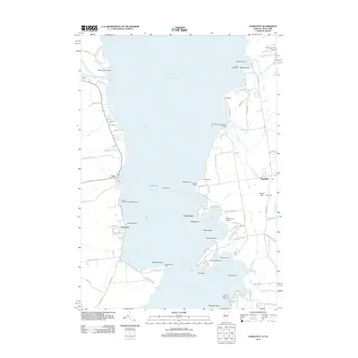
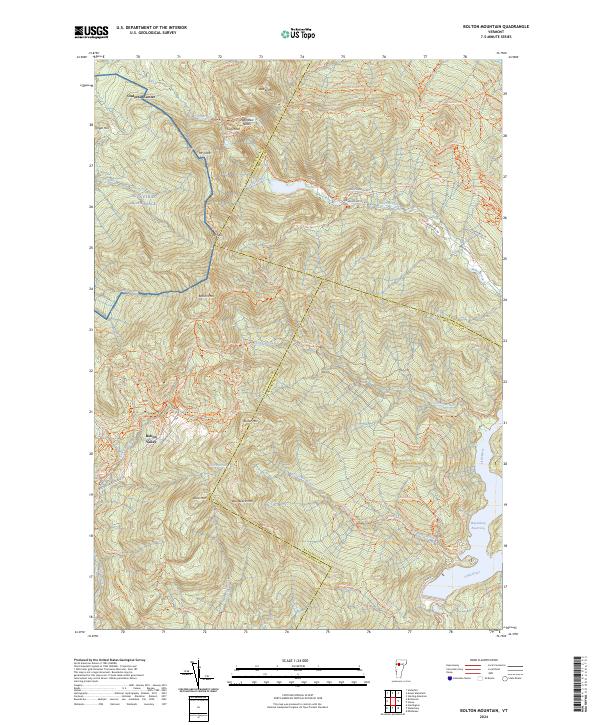
Camels Hump and Mt Mansfield dominate this early 20th-century landscape, providing a clear view of the high Green Mountains before modern development altered the terrain. The Central Vermont railroad cuts a vital path through the mountains, following the course of the Winooski River and connecting isolated settlements like Bolton and North Duxbury. The map documents a period of rural Vermont life where community was centered around small crossroads such as Underhill Center, Huntington Center, and the Duxbury School.
Find a feature on this map
22 named features on this map. Tap any name to fly to it.
Don’t see what you’re looking for? This feature index may not catch every label — zoom into the map to look around manually.
Map Details
Editions of this 1921 Richmond Map
This is the sole edition of this map. No revisions or reprints were ever made.
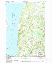
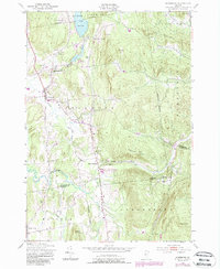
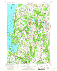
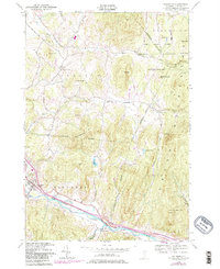
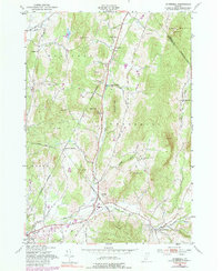
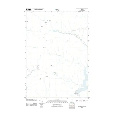
Historical Maps of Waterbury Through Time
66 maps found

1913 Milton
Chittenden County, VT
1915 Milton
Chittenden County, VT
1921 Richmond
Chittenden County, VT
1924 Camels Hump
Chittenden County, VT

1944 Camels Hump
Chittenden County, VT

1944 Milton
Chittenden County, VT
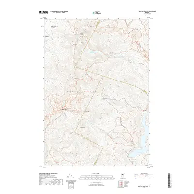
1948 Bolton Mountain
Chittenden County, VT
1948 Camels Hump
Chittenden County, VT

1948 Colchester
Chittenden County, VT
1948 Essex Center
Chittenden County, VT
1948 Georgia Plains
Chittenden County, VT
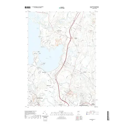
1948 Hinesburg
Chittenden County, VT
1948 Milton
Chittenden County, VT
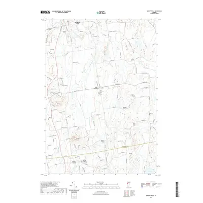
1948 Mount Philo
Chittenden County, VT
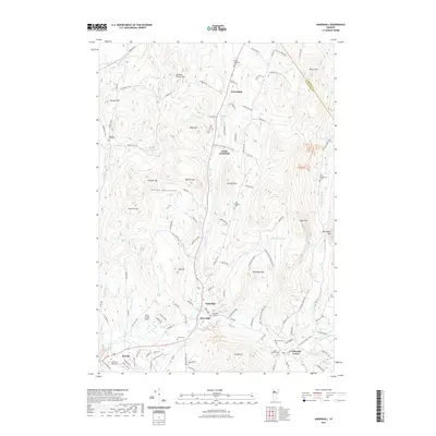
1948 Richmond
Chittenden County, VT
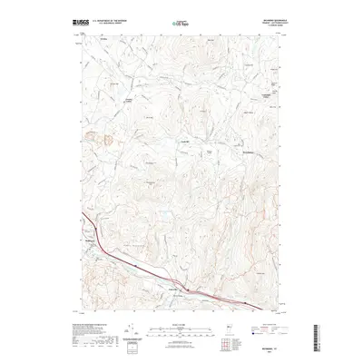
1948 Underhill
Chittenden County, VT
2012 Bolton Mountain
Chittenden County, VT
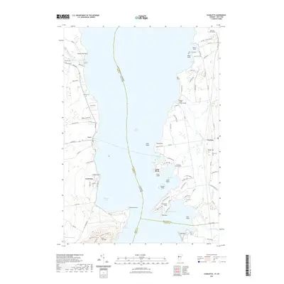
2012 Charlotte
Chittenden County, VT
2012 Colchester
Chittenden County, VT
2012 Essex Center
Chittenden County, VT
2012 Georgia Plains
Chittenden County, VT
2012 Hinesburg
Chittenden County, VT
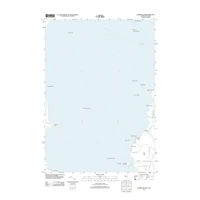
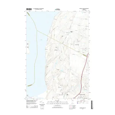
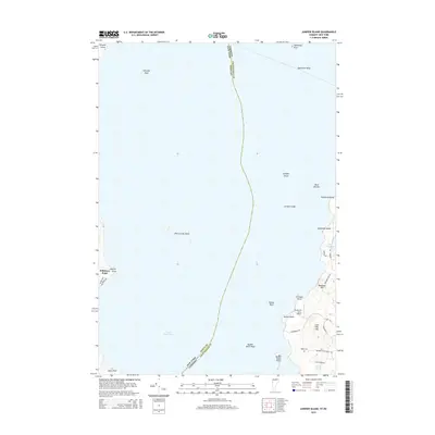
2012 Juniper Island
Chittenden County, VT
2012 Mount Philo
Chittenden County, VT
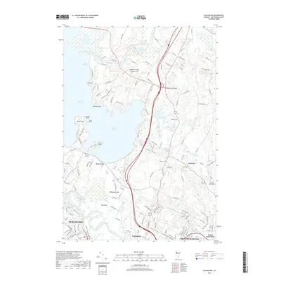
2012 Richmond
Chittenden County, VT
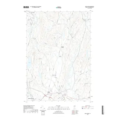
2012 Underhill
Chittenden County, VT
2015 Bolton Mountain
Chittenden County, VT
2015 Charlotte
Chittenden County, VT
2015 Colchester
Chittenden County, VT
2015 Essex Center
Chittenden County, VT
2015 Georgia Plains
Chittenden County, VT
2015 Hinesburg
Chittenden County, VT
2015 Juniper Island
Chittenden County, VT
2015 Mount Philo
Chittenden County, VT
2015 Richmond
Chittenden County, VT
2015 Underhill
Chittenden County, VT
2018 Bolton Mountain
Chittenden County, VT
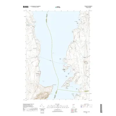
2018 Charlotte
Chittenden County, VT
2018 Colchester
Chittenden County, VT
2018 Essex Center
Chittenden County, VT
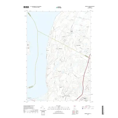
2018 Georgia Plains
Chittenden County, VT
2018 Hinesburg
Chittenden County, VT
2018 Juniper Island
Chittenden County, VT
2018 Mount Philo
Chittenden County, VT
2018 Richmond
Chittenden County, VT
2018 Underhill
Chittenden County, VT
2021 Bolton Mountain
Chittenden County, VT
2021 Charlotte
Chittenden County, VT
2021 Colchester
Chittenden County, VT
2021 Essex Center
Chittenden County, VT
2021 Georgia Plains
Chittenden County, VT
2021 Hinesburg
Chittenden County, VT
2021 Juniper Island
Chittenden County, VT
2021 Mount Philo
Chittenden County, VT
2021 Richmond
Chittenden County, VT
2021 Underhill
Chittenden County, VT
2024 Bolton Mountain
Chittenden County, VT
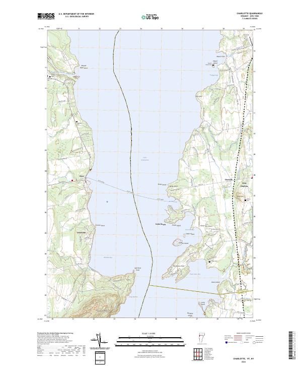
2024 Charlotte
Chittenden County, VT
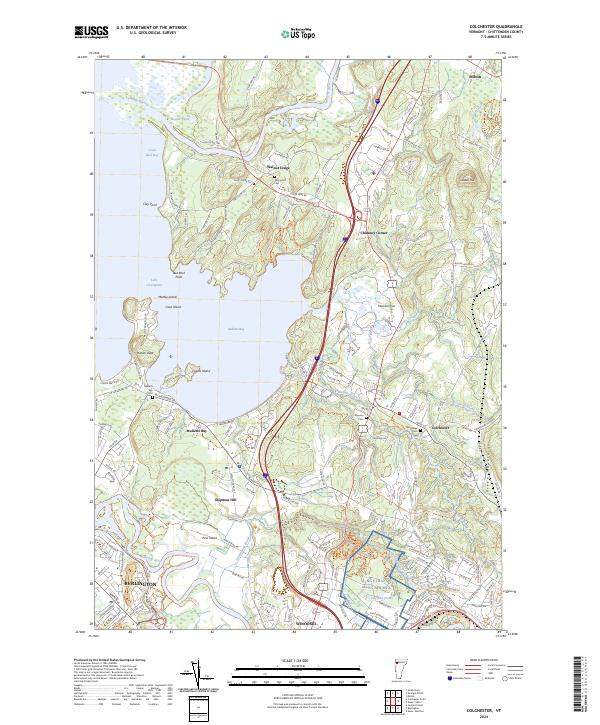
2024 Colchester
Chittenden County, VT
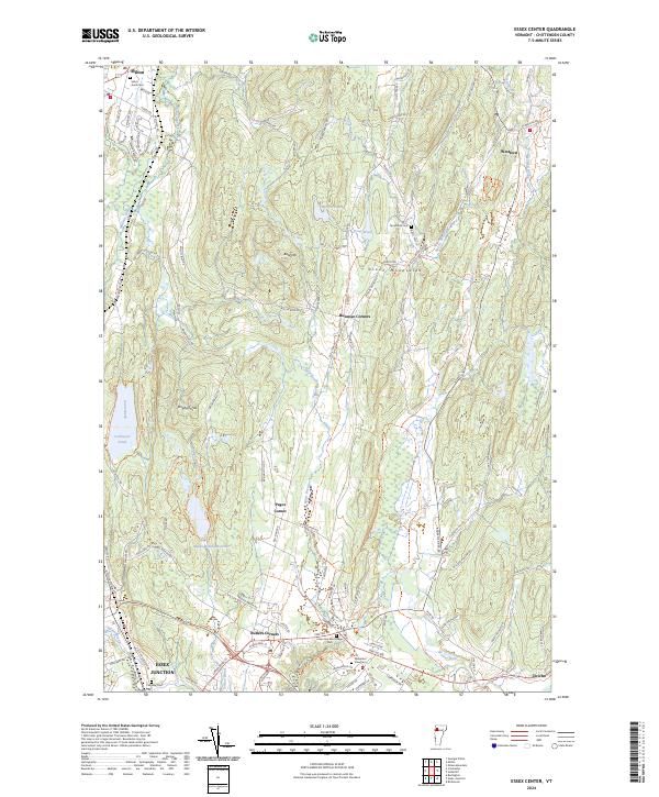
2024 Essex Center
Chittenden County, VT
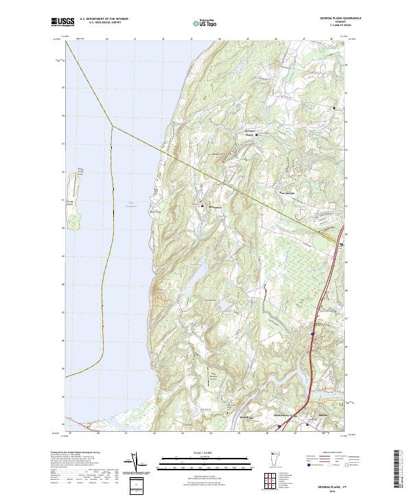
2024 Georgia Plains
Chittenden County, VT
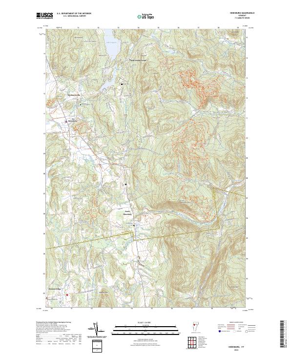
2024 Hinesburg
Chittenden County, VT
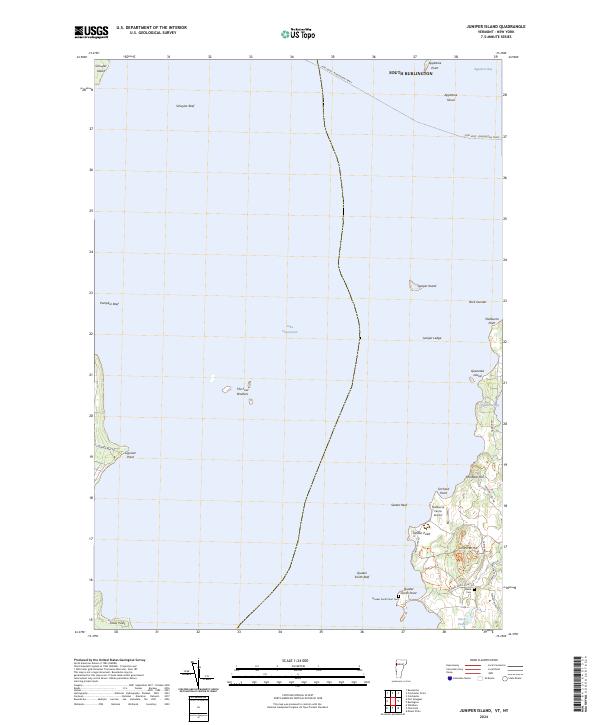
2024 Juniper Island
Chittenden County, VT
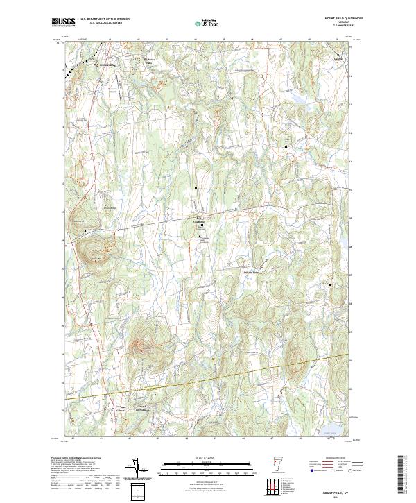
2024 Mount Philo
Chittenden County, VT
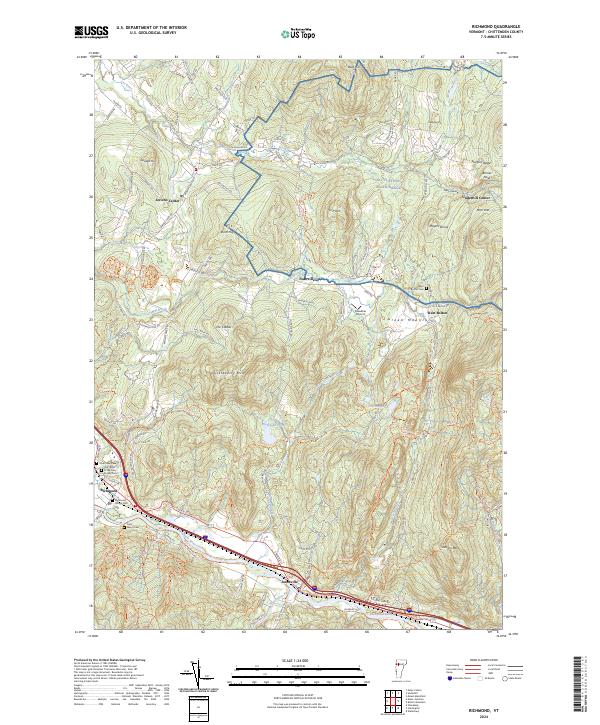
2024 Richmond
Chittenden County, VT
2024 Underhill
Chittenden County, VT