2022 Map of Ridgely
USGS Topo · Published 2022About this map
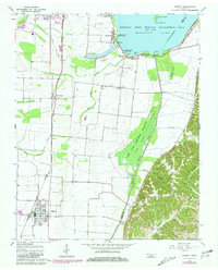
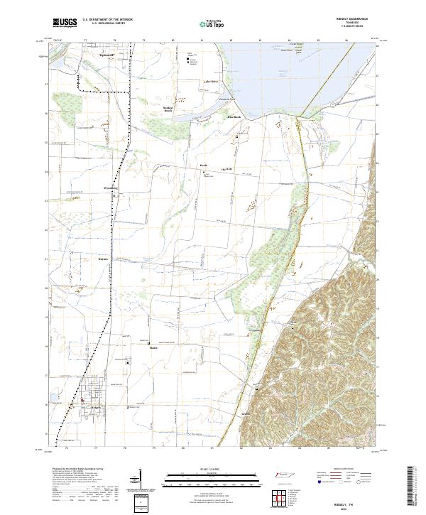
Running Reelfoot Bayou snakes along the eastern boundary of Lake County, where the transition from the Mississippi River's alluvial plain to the western bluffs is defined by a complex network of wetlands and levees. The landscape is dotted with small agricultural settlements like Wynnburg, Madie, and Gratio, while the larger town of Ridgely serves as a local hub near the southern edge. The area's proximity to Reelfoot Lake is evident through features like Lids Pocket, Magic Hole, and Glory Hole, along with waterfront communities such as Sunkist Beach and Blue Bank.
Find a feature on this map
108 named features on this map. Tap any name to fly to it.
Don’t see what you’re looking for? This feature index may not catch every label — zoom into the map to look around manually.
Map Details
Editions of this 2022 Ridgely Map
This is the sole edition of this map. No revisions or reprints were ever made.