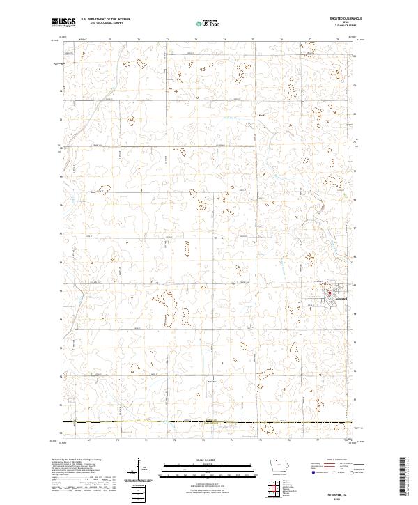
2022 Map of Ringsted
USGS Topo · Published 2022About this map
Ringsted anchor the eastern edge of this landscape, where the street grid of the town meets the extensive agricultural section lines of northern Iowa. The territory is defined by a complex drainage system, including the meandering paths of Black Cat Cr and Jack Cr, alongside engineered water management features like Ditch Number 37. The small settlement of Halfa sits further north, connected by a network of rural roads such as Co HWY a33 and Co HWY a34 that divide the land into a precise geometric quilt. This modern survey illustrates the persistent importance of the Public Land Survey System, with township boundaries like t98n r31w and the county line between Emmet Co and Palo Alto Co dictating the placement of farmsteads and transport corridors. A private landing strip, Peltz Field, represents a specific regional reliance on aviation in this wide-open rural expanse.
Find a feature on this map
27 named features on this map. Tap any name to fly to it.
Don’t see what you’re looking for? This feature index may not catch every label — zoom into the map to look around manually.
Map Details
Editions of this 2022 Ringsted Map
This is the sole edition of this map. No revisions or reprints were ever made.
Other maps of this area

1954 · Fairmont
USGS Topo · 1:250,000

1958 · Fairmont
USGS Topo · 1:250,000

1980 · Fenton
USGS Topo · 1:24,000

1980 · Depew
USGS Topo · 1:24,000

1980 · Seneca
USGS Topo · 1:24,000

1980 · Armstrong
USGS Topo · 1:24,000

1980 · Ringsted
USGS Topo · 1:24,000

1980 · Ingham Lake
USGS Topo · 1:24,000

1980 · Gruver
USGS Topo · 1:24,000

1980 · Graettinger East
USGS Topo · 1:24,000