Old Maps of Emmet County, Iowa
Explore 94 old maps of Emmet County, spanning from 1954 to today. These high-resolution historic maps reveal how streets, neighborhoods, landmarks, and natural features evolved over time — perfect for genealogy, metal detecting, research, and local history exploration.
What you can do with these maps:
- See how Emmet County changed over time: Compare historical maps to modern-day views to trace roads, homesites, rail lines & more.
- View detailed metadata: Each map includes creators, publishers, year, scale, and archive source.
- Overlay maps with satellite & LiDAR: Visualize the past alongside modern tools to explore terrain & human change.
- Trusted historical sources: Maps sourced from the USGS, Library of Congress, and other archives.
- Access maps your way: View online, download high-res files, or order prints for personal or research use.
Start exploring old maps of Emmet County to uncover forgotten places, hidden landmarks, and the deep history beneath your feet.
Emmet County, IA maps
(94)- 1954 Map of Fairmont, 1967 Print
 1954 Fairmont1967 Print · USGSThe prairie landscape of southern Minnesota and northern Iowa comes alive in this mid-century survey of the Coteau des Prairies. Genealogists and historians can trace the rail-connected growth of Fairmont and Blue Earth or locate family roots near St Kilian Ch and Union Slough National Wildlife Refuge.3 unique versions available
 - 1958 Map of Fairmont
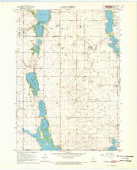
 1958 Fairmont1958 Print · USGSThe borderlands of southern Minnesota and northern Iowa come alive in the mid-1950s, showing a landscape defined by glacial lakes and rail-line commerce. Researchers can trace historic landmarks like Lakeside Laboratory, Gridley Station, and the Bancroft Wildlife Refuge across the prairie.
 - 1967 Map of Wilmert Lake, 1968 Print
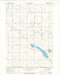
 1967 Wilmert Lake1968 Print · USGSThe Minnesota-Iowa borderlands are captured here in the late sixties, showcasing the intricate chain of lakes and agricultural drainage networks. Genealogists can trace family locations near Oakwood Cem, Center Chain Cem, or the Amber Lake Park area.2 unique versions available
 - 1970 Map of Ceylon, 1972 Print
 1970 Ceylon1972 Print · USGSSouthern Minnesota and the Iowa borderlands are captured here in the early 1970s, showing a prairie landscape shaped by drainage and rail. Researchers can trace family sites at Lone Cedar Cem or follow the path of the Chicago and North Western railroad through Ceylon.
 - 1970 Map of Jackson, 1972 Print
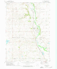
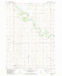
 1970 Jackson1972 Print · USGSJackson and the Des Moines River valley appear here in the early seventies as the region balanced its role as a county seat with a river-based economy. Researchers can locate several family burial sites including Riverside and Petersburg Cem, alongside local landmarks like the Powerplant and Getty Park.
 - 1970 Map of Dunnell, 1972 Print
 1970 Dunnell1972 Print · USGSDunnell and the surrounding farmlands of Martin and Emmet counties are captured here in the early 1970s. Researchers can trace family ties through the Lake Fremont Cem, the Chicago and North Western rail corridor, and the grid of Judicial Ditch No 105.
 - 1970 Map of Wilbert, 1972 Print
 1970 Wilbert1972 Print · USGSThe Minnesota-Iowa borderlands come to life in the early seventies, showcasing a landscape of glacial lakes and prairie townships. Researchers can locate the Wilbert Townhall, trace family plots at Tenhassen Cem, and explore the shoreline of Okamanpeedan Lake.
 - 1972 Map of Terril, 1974 Print
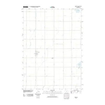
 1972 Terril1974 Print · USGSThe township borders of Dickinson and Emmet counties meet here in the early 1970s, centered on the rail-aligned town of Terril. Genealogists and local historians can trace the Chicago and North Western line, locate Fairview Cem, and explore the wetlands of Twelvemile Lake.
 - 1972 Map of Wallingford, 1974 Print
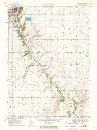
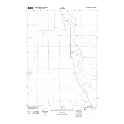
 1972 Wallingford1974 Print · USGSThe Des Moines River valley in northern Iowa is shown here in the early 1970s, as the railroad still connected the agricultural hubs of Wallingford and Raleigh. Researchers can locate several burial sites including Wallingford Cem and trace the complex network of drainage ditches and state game areas.
 - 1972 Map of Estherville, 1974 Print
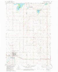
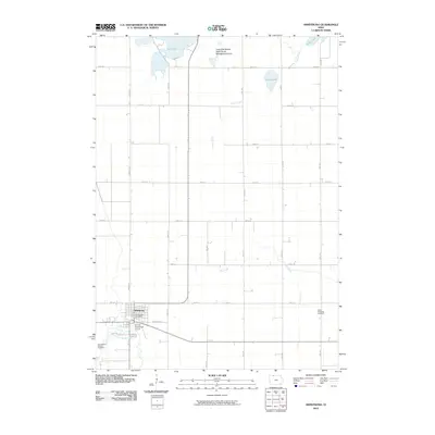
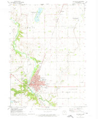 1972 Estherville1974 Print · USGSThe Des Moines River valley in the early seventies shows Estherville as a bustling hub of rail and civic life. Researchers can find numerous local landmarks, from Oak Hill Cemetery to the Chicago and North Western rail lines and the campus of Iowa Lakes Community College.
 - 1972 Map of Superior, 1974 Print
 1972 Superior1974 Print · USGSThe town of Superior and its surrounding prairies are captured here in the early 1970s, as the railroad still influenced the local layout. Genealogists and researchers can locate the Township Cem and trace the paths of the Chicago Rock Island and Pacific or the shores of Swan Lake.
 - 1980 Map of Seneca
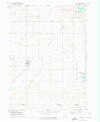
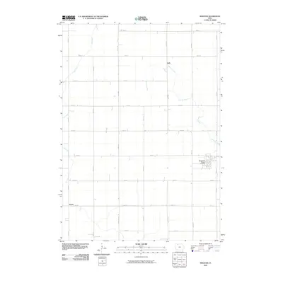
 1980 Seneca1980 Print · USGSThe rural landscape of northern Iowa is captured here in the late twentieth century, showing the farmsteads and resource extraction sites along the East Fork Des Moines River. Genealogists and local historians can trace legacy sites like St Pauls Cem and Blakjer Ch.
 - 1980 Map of Armstrong
 1980 Armstrong1980 Print · USGSArmstrong and the surrounding northern Iowa prairie are captured here in the late twentieth century, showing a landscape defined by conservation and rail. Researchers can trace local history at Township Cemetery and the Chicago and North Western line.
 - 1980 Map of Ringsted
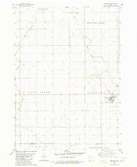 1980 Ringsted1980 Print · USGSEmmet County, Iowa, is shown here in the late twentieth century as its agricultural landscape matured around established towns. Genealogists and historians can trace the streets of Ringsted, the settlement at Halfa, and the remnants of an Old Railroad Grade.
 - 1980 Map of Ingham Lake
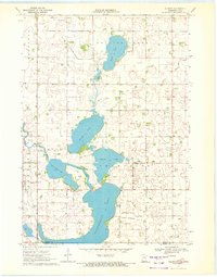
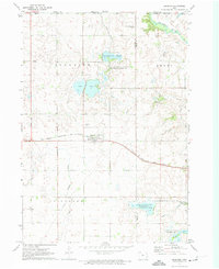
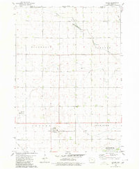
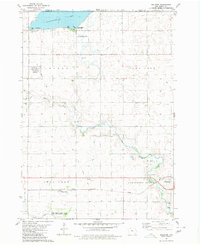
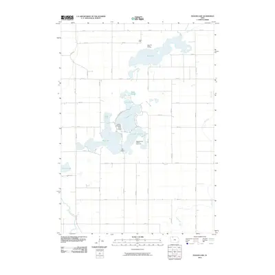
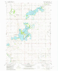 1980 Ingham Lake1980 Print · USGSEmmet County’s lake country is seen here in the late twentieth century, showing a landscape defined by conservation areas and glacial waters. Researchers can trace family roots at the Swan Lake Village Cem or locate the Old Railroad Grade near the Des Moines River.
 - 1980 Map of Gruver
 1980 Gruver1980 Print · USGSThe northern Iowa prairie is documented here in the early 1980s, centered on the railroad town of Gruver near the Minnesota border. Genealogists can locate rural burial sites like Ellsworth Cem and Palestine Cem alongside the Palestine Ch.
 - 1980 Map of Dolliver
 1980 Dolliver1980 Print · USGSThe Emmet County borderlands and the shores of Okamanpeedan Lake are shown here as they appeared in the late seventies. Genealogists and historians can locate small settlements like Gridley and Maple Hill or trace burials at Armstrong Grove Cem and Township Cem.
 - 1985 Map of Estherville
 1985 Estherville1985 Print · USGSNorthern Iowa in the mid-eighties was a landscape of grid-patterned agriculture and vast marshland conservation. Genealogists can locate rural landmarks like Oak Hill Cemetery and Fourmile Lake School, or trace the rail lines of the Chicago and North Western.2 unique versions available
 - 1985 Map of Fairmont, 1991 Print
 1985 Fairmont1991 Print · USGSSouthern Minnesota in the mid-eighties shows a robust network of prairie towns and rail-connected agricultural hubs. Genealogists can trace family footprints across Rolling Green and Manyaska or locate old homesteads near Fox Lake and the Chicago & North Western line.
 - 2010 Map of Dolliver, 2010 Print
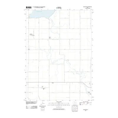 2010 Dolliver2010 Print · USGSCovers Emmet County, including Armstrong, Dolliver, and other nearby areas
 - 2010 Map of Ringsted, 2010 Print
 2010 Ringsted2010 Print · USGSCovers Emmet County, including Ringsted, Hoprig, and other nearby areas
 - 2010 Map of Ingham Lake, 2010 Print
 2010 Ingham Lake2010 Print · USGSCovers Emmet County, including Palo Alto County, United States, and other nearby areas
 - 2010 Map of Terril, 2010 Print
 2010 Terril2010 Print · USGSCovers Emmet County, including Terril, Dickinson County, and other nearby areas
 - 2010 Map of Armstrong, 2010 Print
 2010 Armstrong2010 Print · USGSCovers Emmet County, including Armstrong, Kossuth County, and other nearby areas
 - 2010 Map of Wallingford, 2010 Print
 2010 Wallingford2010 Print · USGSCovers Emmet County, including Wallingford, Raleigh, and other nearby areas
Showing maps 1-25 of 94
Top cities of Emmet County
- Estherville historical maps
- Armstrong historical maps
- Ringsted historical maps
- Wallingford historical maps
- Dolliver historical maps
- Gruver historical maps
Frequently asked questions
- What are the different types of historical maps available for Emmet County?
- What is the oldest map of Emmet County?
- Where can I purchase historical maps of Emmet County for my home or office?
- Where can I download high-res historical maps of Emmet County?
- Are there historical topographic maps available for Emmet County?
- Is there historical aerial imagery available for Emmet County?
- Where are historical maps of Emmet County sourced from?