
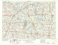
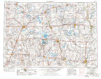
1954 Map of Fairmont
USGS Topo · Published 1967About this map
Coteau des Prairies and Buffalo Ridge define the upland character of this prairie landscape, where the headwaters of several major river systems diverge. The survey illustrates a mid-century agricultural corridor increasingly defined by its water resources and transportation links. In the Iowa portion, the popular Iowa Great Lakes region is shown in detail, including the lakefront communities of Arnolds Park, Okoboji, and West Okoboji. To the east, the Union Slough National Wildlife Refuge marks a significant protected wetland area. The network of the Chicago and North Western and Chicago, Rock Island and Pacific railroads connects established county seats like Fairmont and Blue Earth with smaller regional hubs such as Sherburn and Lakefield. Rural life is centered around local institutions, visible in landmarks like St Kilian Ch and numerous unnamed schools and cemeteries.
Find a feature on this map
281 named features on this map. Tap any name to fly to it.
Don’t see what you’re looking for? This feature index may not catch every label — zoom into the map to look around manually.
Map Details
Editions of this 1954 Fairmont Map
3 editions found
Other maps of this area

1950 · Mankato East
USGS Topo · 1:62,500

1951 · Mankato East
USGS Topo · 1:62,500

1951 · Mankato West
USGS Topo · 1:62,500

1953 · Saint Paul
USGS Topo · 1:250,000

1953 · Watertown
USGS Topo · 1:250,000

1953 · New Ulm
USGS Topo · 1:250,000

1954 · Mason City
USGS Topo · 1:250,000

1954 · Waterloo
USGS Topo · 1:250,000

1954 · Fort Dodge
USGS Topo · 1:250,000

1955 · Waterloo
USGS Topo · 1:250,000