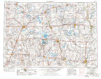
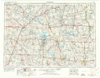
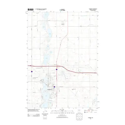
1954 Map of Fairmont
USGS Topo · Published 1976About this map
Fairmont and its surrounding prairie lakes anchor this mid-century look at the borderlands between southern Minnesota and northern Iowa. At this stage in the region's development, the landscape is defined by a dense grid of rural townships and a sophisticated transportation network of major railroads, including the Chicago and North Western and the Chicago Milwaukee St. Paul and Pacific. Large-scale drainage and agricultural patterns are evident in the management of the Des Moines River and the preservation of the Union Slough National Wildlife Refuge.
Find a feature on this map
334 named features on this map. Tap any name to fly to it.
Don’t see what you’re looking for? This feature index may not catch every label — zoom into the map to look around manually.
Map Details
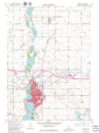
Editions of this 1954 Fairmont Map
3 editions found

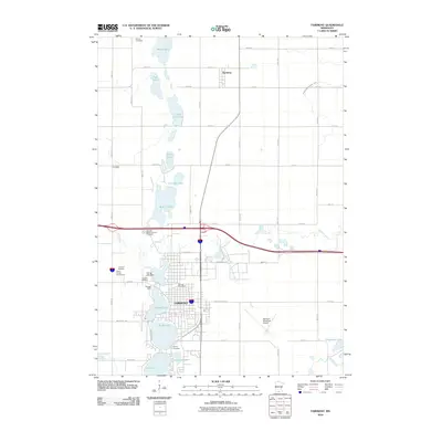
Historical Maps of Worthington Through Time
10 maps found
1954 Fairmont
Martin County, MN

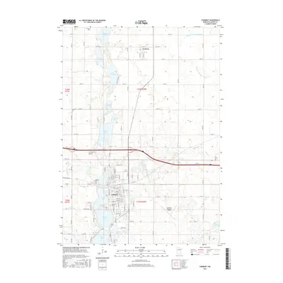
1958 Fairmont
Martin County, MN
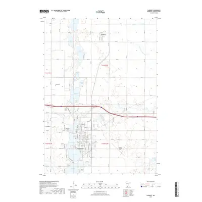
1967 Fairmont
Martin County, MN

1985 Fairmont
Martin County, MN

1992 Fairmont
Martin County, MN
2010 Fairmont
Martin County, MN
2013 Fairmont
Martin County, MN
2016 Fairmont
Martin County, MN
2019 Fairmont
Martin County, MN
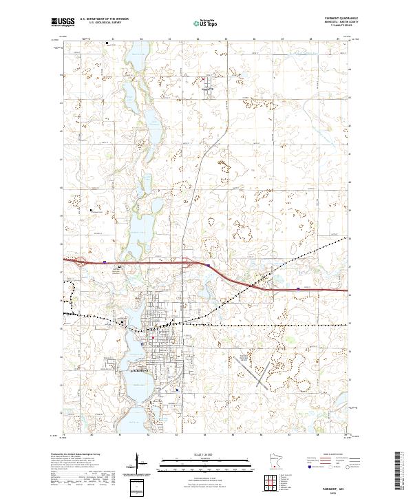
2022 Fairmont
Martin County, MN