
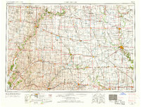
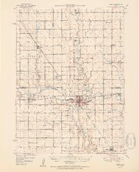
1954 Map of Fort Dodge
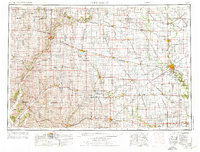
USGS Topo · Published 1968About this map
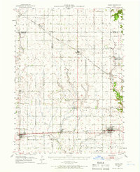
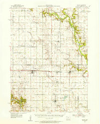
The industrial hub of Fort Dodge anchors this mid-century look at Northwest Iowa, where the Des Moines River and Lizard Creek converge. The landscape is defined by its extraction economy and public institutions, notably the gypsum-rich areas of Gypsum and Coalville and the Womens Reformatory south of the city. A complex network of railroads, including the Fort Dodge Des Moines and Southern and the Chicago & North Western, illustrates the logistics of a region focused on transport and manufacturing. Beyond the urban centers, the map documents a transition into recreation and conservation, showing the Wanata State Forest Reserve and Dolliver Memorial State Park along the river valleys. Smaller settlements like Shady Oak and Kalo appear alongside prominent landmarks such as the State Hospital and various cemeteries, providing a detailed look at the rural social structure of the era.
Find a feature on this map
234 named features on this map. Tap any name to fly to it.
Don’t see what you’re looking for? This feature index may not catch every label — zoom into the map to look around manually.
Map Details
Editions of this 1954 Fort Dodge Map
3 editions found
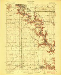
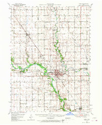
Other maps of this area

1911 · Madrid
USGS Topo · 1:62,500

1914 · Madrid
USGS Topo · 1:62,500

1916 · Boone
USGS Topo · 1:62,500
1923 · Lehigh
USGS Topo · 1:62,500

1923 · Fort Dodge
USGS Topo · 1:62,500
1950 · Perry
USGS Topo · 1:62,500
1951 · Perry
USGS Topo · 1:62,500
1951 · Ogden
USGS Topo · 1:62,500
1954 · Bagley
USGS Topo · 1:62,500

1954 · Fairmont
USGS Topo · 1:250,000