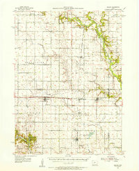
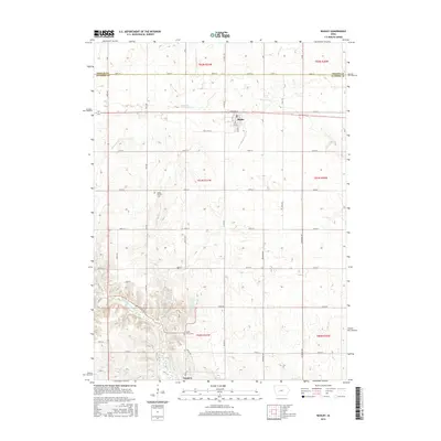
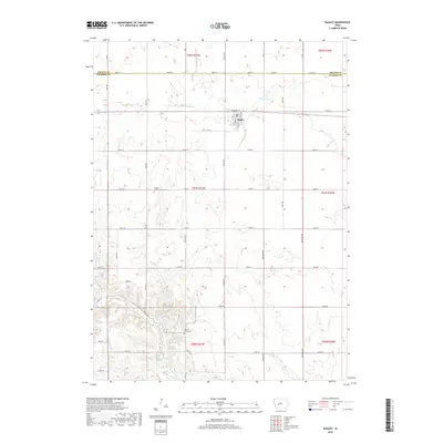
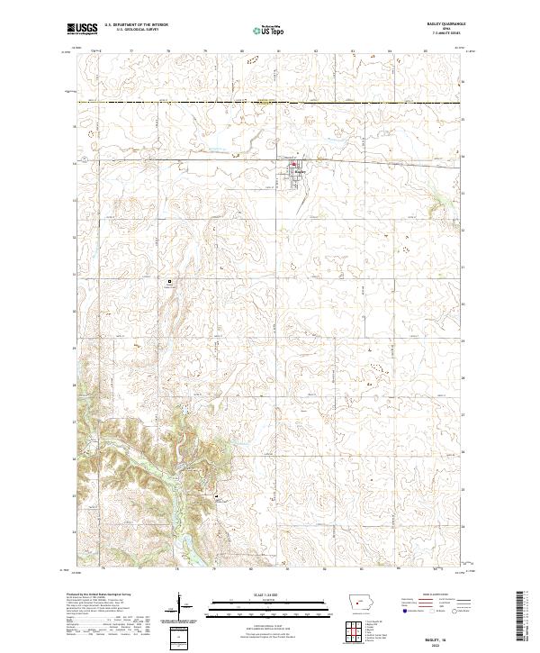
1954 Map of Bagley
USGS Topo · Published 1956About this map
The Chicago Milwaukee St Paul and Pacific railroad forms the industrial backbone of this mid-century rural landscape, connecting the agricultural hubs of Bagley, Herndon, and Jamaica. The topography is defined by the winding course of the North Raccoon River in the northeast and the recreational grounds of Springbrook State Park in the southwest. A high density of rural schools and cemeteries, such as Greenbrier Center Sch, Richland Cem, and German Cem, reveals the established community structure of the time. Numerous groundwater sources are specifically noted on this sheet, including several instances of a Flowing Well scattered across Dodge and Richland townships, signaling the importance of reliable water access for the local farmsteads.
Find a feature on this map
43 named features on this map. Tap any name to fly to it.
Don’t see what you’re looking for? This feature index may not catch every label — zoom into the map to look around manually.
Map Details
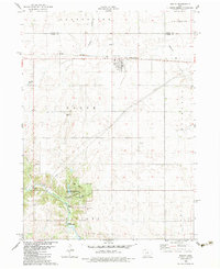
Editions of this 1954 Bagley Map
This is the sole edition of this map. No revisions or reprints were ever made.
Historical Maps of Jefferson Through Time
7 maps found
Featured Locations
- Dallas Township, IA
- Yale, IA
- Bagley, Dodge Township
- Jamaica, Richland Township
- Jefferson, Grant Township