Old Maps of Jefferson, Iowa
Explore 36 old maps of Jefferson, spanning from 1954 to today. These high-resolution historic maps reveal how streets, neighborhoods, landmarks, and natural features evolved over time — perfect for genealogy, metal detecting, research, and local history exploration.
What you can do with these maps:
- See how Jefferson changed over time: Compare historical maps to modern-day views to trace roads, homesites, rail lines & more.
- View detailed metadata: Each map includes creators, publishers, year, scale, and archive source.
- Overlay maps with satellite & LiDAR: Visualize the past alongside modern tools to explore terrain & human change.
- Trusted historical sources: Maps sourced from the USGS, Library of Congress, and other archives.
- Access maps your way: View online, download high-res files, or order prints for personal or research use.
Start exploring old maps of Jefferson to uncover forgotten places, hidden landmarks, and the deep history beneath your feet.
Jefferson, IA maps
(36)- 1954 Map of Bagley, 1956 Print
 1954 Bagley1956 Print · USGSGuthrie and Greene counties are shown in the mid-fifties as the railroad network still linked small agricultural towns. Genealogists can trace family roots through Greenbrier Cem and St Marys Ch or locate the many Flowing Well sites across the prairie.
 - 1954 Map of Omaha, 1967 Print
 1954 Omaha1967 Print · USGSMid-century development radiates from the river bluffs into the agricultural heartland during this period of post-war growth. Genealogists and historians can trace rail-connected towns like Atlantic and Red Oak or locate the sprawling grounds of Offutt Air Force Base and Manawa Lake.3 unique versions available
 - 1954 Map of Fort Dodge, 1968 Print
 1954 Fort Dodge1968 Print · USGSNorthwest Iowa is shown here during a period of steady industrial and rail activity in the mid-fifties. Researchers can trace the extensive rail lines connecting Fort Dodge to mining and manufacturing sites like Gypsum and Industry Station.3 unique versions available
 - 1957 Map of Omaha
 1957 Omaha1957 Print · USGSWestern Iowa and the Missouri River valley are seen here in the mid-fifties during the height of the rail-and-road era. Researchers can trace the sprawling rail lines of the Chicago And North Western or locate Cold War landmarks like Offutt Air Force Base.
 - 1957 Map of Fort Dodge
 1957 Fort Dodge1957 Print · USGSWest-central Iowa thrived as a network of rail-linked agricultural hubs and river towns during the mid-fifties. Researchers can trace the development of the Des Moines River valley and locate historic landmarks in Fort Dodge, Storm Lake, and Lehigh.
 - 1958 Map of Omaha
 1958 Omaha1958 Print · USGSOmaha and Council Bluffs stand at the center of this mid-fifties landscape, where the Missouri River splits the urban plains of Nebraska from the rolling hills of western Iowa. Genealogists can trace the rail lines of the Wabash RR and Illinois Central RR to rural settlements like Missouri Valley and Red Oak.2 unique versions available
 - 1958 Map of Fort Dodge
 1958 Fort Dodge1958 Print · USGSWestern Iowa in the mid-1950s reveals a productive landscape of river-valley industry and prairie agricultural hubs. Researchers can trace the development of the Des Moines River corridor through Fort Dodge and locate vanished local landmarks near Coalville or Storm Lake.
 - 1962 Map of Jefferson, 1964 Print
 1962 Jefferson1964 Print · USGSGreene County agriculture and rail commerce are at their peak in the early sixties as steam gives way entirely to diesel. Genealogists can locate family plots at Golgotha Cem, trace the rural North Sch, or explore the wetland edges of Goose Lake State Preserve.
 - 1982 Map of Bagley NW, 1983 Print
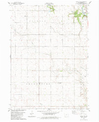 1982 Bagley NW1983 Print · USGSGreene County agricultural lands and the North Raccoon River corridor are captured here in the early 1980s. Researchers can locate family landmarks such as Greenbrier United Ch and the German Cem, or trace the winding paths of Dead Brier Creek.
 - 1982 Map of Cooper, 1983 Print
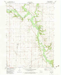 1982 Cooper1983 Print · USGSGreene County farmland meets the wooded valley of the North Raccoon River in the early eighties. Genealogists and local researchers can trace the Chicago and North Western rail corridor through Cooper or locate several burial sites like Old Rippey Cem and Franklin Cem.
 - 1984 Map of Guthrie Center, 1985 Print
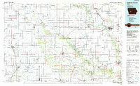 1984 Guthrie Center1985 Print · USGSWest-central Iowa's river valleys and farming townships are shown here in the mid-1980s, highlighting a network of conservation areas and historic rail towns. Genealogists and local historians can locate Violet Hill Cem, trace the Chicago and North Western railroad, or explore the grounds of Springbrook State Park.
 - 1985 Map of Carroll
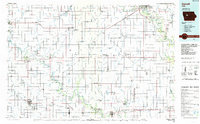 1985 Carroll1985 Print · USGSWest-Central Iowa in the mid-eighties shows a landscape of highly engineered farmland and river-valley conservation. Researchers can trace the drainage patterns of Purgatory Creek or locate local landmarks like Dolliver Memorial State Park and the rail-junction town of Gowrie.
 - 1986 Map of Jefferson West
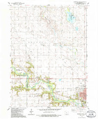 1986 Jefferson West1986 Print · USGSGreene County agriculture and conservation meet along the North Raccoon River during the mid-eighties. Genealogists and local historians can trace the streets of Jefferson or locate rural landmarks like Golgotha Cem and Farlin.
 - 1986 Map of Jefferson East
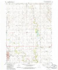 1986 Jefferson East1986 Print · USGSJefferson and the surrounding Greene County townships are captured here in the mid-1980s as the rail-and-road network matured. Genealogists can trace family connections at the Jefferson Cem or follow the Chicago and North Western line to Spring Lake County Park.
 - 1993 Map of Carroll
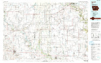 1993 Carroll1993 Print · USGSCentral Iowa's river valleys and rail corridors are captured here in the early nineties, showing a landscape shaped by the Raccoon River and Des Moines River. Genealogists can trace family connections to the many county seats, from Sac City to Jefferson, and locate rural landmarks like Pilot Mound or North Twin Lake.
 - 1993 Map of Guthrie Center
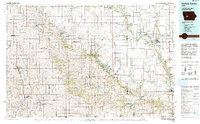 1993 Guthrie Center1993 Print · USGSWestern Iowa in the early 1990s showcases a network of river-valley towns and essential rail corridors. Researchers can trace local landmarks like Violet Hill Cem and the Chicago and North Western RR through Coon Rapids and Panora.
 - 2010 Map of Bagley NW, 2010 Print
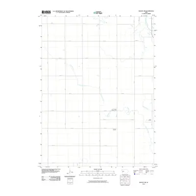 2010 Bagley NW2010 Print · USGSGreene County agriculture and rural life are preserved here during the first decade of the new millennium. Genealogists can locate family burial plots at the Greenbrier Cemetery and German Cemetery near the banks of Dead Brier Creek.
 - 2010 Map of Cooper, 2010 Print
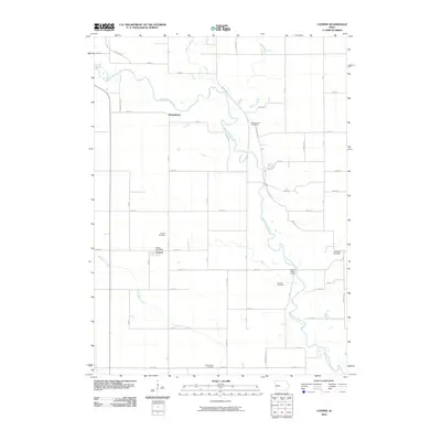 2010 Cooper2010 Print · USGSGreene County’s agricultural landscape is documented here in the early twenty-first century, centered on the North Raccoon River and the community of Cooper. Researchers can locate several burial grounds including Old Rippey Cemetery and Van Horn Cemetery, or trace the winding paths of Hardin Creek and Buttrick Creek.
 - 2010 Map of Jefferson West, 2010 Print
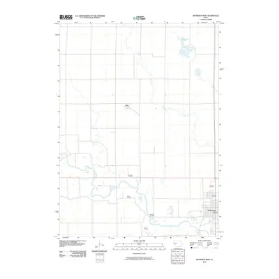 2010 Jefferson West2010 Print · USGSThe Greene County seat and its agricultural surroundings are captured here during the first decade of the millennium. Researchers can locate local landmarks like the Mahanay Bell Tower or trace family roots at Fair Oaks Cemetery, Wright Cemetery, and Farlin.
 - 2010 Map of Jefferson East, 2010 Print
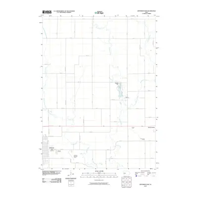 2010 Jefferson East2010 Print · USGSGreene County is shown at the start of the 2100s as a well-ordered agricultural grid between two historic rail towns. Researchers can trace local roots at the Jefferson Cemetery or locate civic landmarks like the Greene County Fairgrounds and Spring Lake.
 - 2013 Map of Bagley NW, 2013 Print
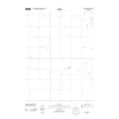 2013 Bagley NW2013 Print · USGSGreene County agriculture and the river valley drainage are on full display in this early twenty-first-century survey of the Iowa plains. Genealogists and local historians can trace the paths of Greenbrier Cr and the N Raccoon River near the settlement of Green Brier.
 - 2013 Map of Cooper, 2013 Print
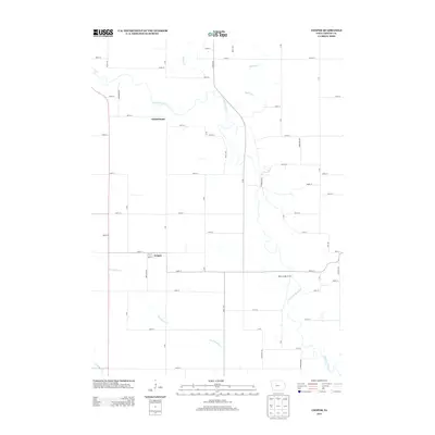 2013 Cooper2013 Print · USGSGreene County agriculture and the winding river valley are documented in the early twenty-first century. Genealogists and researchers can trace local family land near Cooper, Winkelmans, and the Adkins Bridge Access along the N Raccoon River.
 - 2013 Map of Jefferson East, 2013 Print
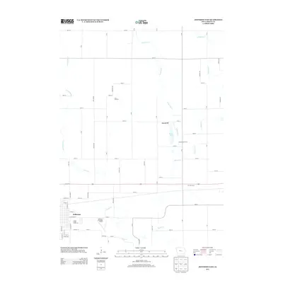 2013 Jefferson East2013 Print · USGSJefferson and the surrounding Grant Township farmlands are shown here in the early twenty-first century. Local historians can trace the development of the Greene County Fairgrounds and follow the branching waters of Buttrick Cr and Hardin Cr.
 - 2013 Map of Jefferson West, 2013 Print
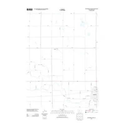 2013 Jefferson West2013 Print · USGSGreene County agriculture and river life are captured here in the early twenty-first century as the city of Jefferson expands westward. Researchers can locate specific sites like the Mahanay Bell Tower, the crossing at Eureka Bridge, and the small community of Farlin.
 - 2015 Map of Jefferson West, 2015 Print
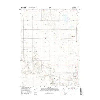 2015 Jefferson West2015 Print · USGSThe western outskirts of Jefferson and the surrounding Greene County farmland are captured here in the mid-2010s. Genealogists and local historians can locate Golgotha Cem, Farlin, and the crossing at Eureka Bridge along the North Raccoon River.
Showing maps 1-25 of 36
Top cities near Jefferson
- Grand Junction historical maps
- Scranton historical maps
- Bayard historical maps
- Churdan historical maps
- Bagley historical maps
- Paton historical maps
See more
Frequently asked questions
- What are the different types of historical maps available for Jefferson?
- What is the oldest map of Jefferson?
- Where can I purchase historical maps of Jefferson for my home or office?
- Where can I download high-res historical maps of Jefferson?
- Are there historical topographic maps available for Jefferson?
- Is there historical aerial imagery available for Jefferson?
- Where are historical maps of Jefferson sourced from?