2020s Maps of Jefferson, Grant Township
Explore 4 historic maps of Jefferson from the 2020s. These maps offer a rare glimpse into what life looked like during the 2020s — showing old roads, neighborhoods, homes, and landmarks that have changed or disappeared over time.
Whether you're researching your family's past, planning a metal detecting trip, or studying how Jefferson's landscape evolved across the 2020s, these high-resolution maps are a powerful tool for exploring the history of this region.
- Focus on a specific era: All maps on this page are from the 2020s, giving you a focused view of this time period.
- See what’s changed: Compare century-old streets, trails, and buildings to today's modern landscape using overlays and satellite layers.
- Research with precision: Use these maps for genealogy, historical research, land use analysis, or educational projects.
- View, download, or print: Maps are fully viewable online in high resolution, and can be downloaded or printed for your own records.
Start exploring Jefferson's history through authentic maps from the 2020s. This is your window into the past.
Jefferson, Grant Township maps
(4)- 2022 Map of Bagley NW, 2022 Print
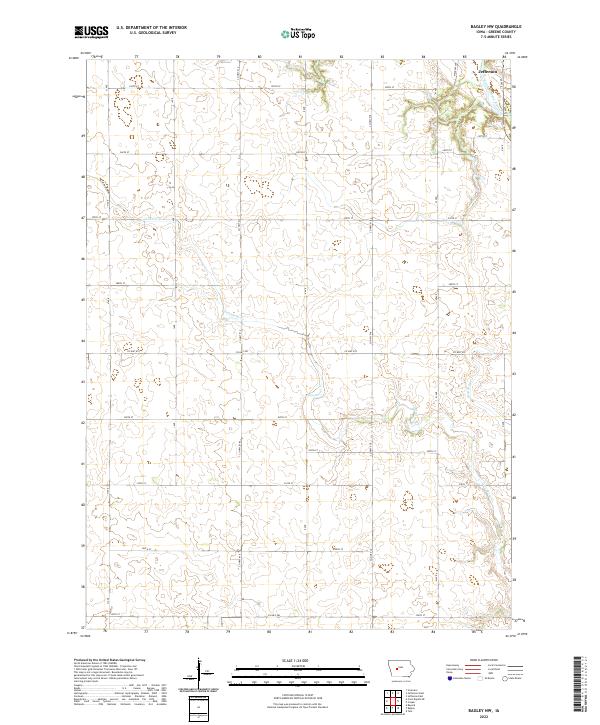 2022 Bagley NW2022 Print · USGSGreene County farmland and the outskirts of Jefferson are documented in this contemporary survey. Genealogists can trace the rural road network and watercourses like North Raccoon River and Greenbrier Cr across several townships.
 - 2022 Map of Cooper, 2022 Print
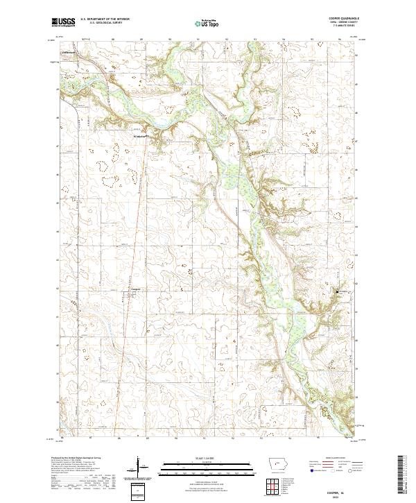 2022 Cooper2022 Print · USGSGreene County agriculture and the winding river valley define this recent look at central Iowa. Genealogists and local historians can locate the Old Rippey Cem and trace the paths of the Raccoon River Valley Trl near Cooper.
 - 2022 Map of Jefferson East, 2022 Print
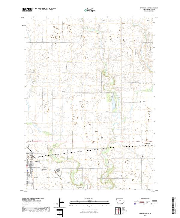 2022 Jefferson East2022 Print · USGSGreene County, Iowa, is shown here in the early twenty-first century as the county seat and neighboring rail towns continue to anchor the agricultural landscape. Genealogists and local historians can trace family plots at Jefferson Cem and Grand Junction Cem or follow the path of the Raccoon River Valley Trail.
 - 2022 Map of Jefferson West, 2022 Print
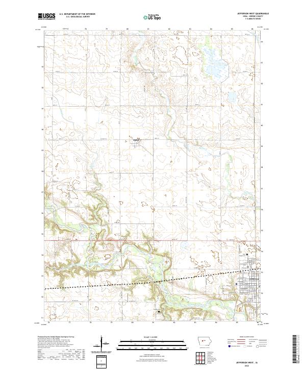 2022 Jefferson West2022 Print · USGSGreene County, Iowa, at the start of the 2020s shows a landscape of precision farming and quiet river valleys. Researchers can trace family sites at Saint Joseph Cem or explore the corridor between the North Raccoon River and the settlement of Farlin.
End of results
Showing maps 1-4 of 4
Top cities near Jefferson
- Grand Junction historical maps
- Scranton historical maps
- Bayard historical maps
- Churdan historical maps
- Bagley historical maps
- Paton historical maps
See more
Frequently asked questions
- What are the different types of historical maps available for Jefferson?
- What is the oldest map of Jefferson?
- Where can I purchase historical maps of Jefferson for my home or office?
- Where can I download high-res historical maps of Jefferson?
- Are there historical topographic maps available for Jefferson?
- Is there historical aerial imagery available for Jefferson?
- Where are historical maps of Jefferson sourced from?