
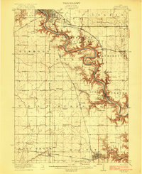
1957 Map of Fort Dodge
USGS Topo · Published 1957About this map
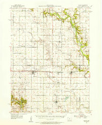
Agricultural trade centers and river-valley settlements define this mid-century portrait of west-central Iowa. The Fort Dodge industrial and transport hub anchors the eastern edge of the survey, where the Des Moines River and Boone River converge. To the west, the landscape transitions into the rolling drainage basins of the Little Sioux River and Maple River. The map captures the region’s development as a network of rail-linked prairie towns, from Storm Lake and its namesake water body to the crossroads at Carroll and Jefferson.
Find a feature on this map
239 named features on this map. Tap any name to fly to it.
Don’t see what you’re looking for? This feature index may not catch every label — zoom into the map to look around manually.
Map Details
Editions of this 1957 Fort Dodge Map
This is the sole edition of this map. No revisions or reprints were ever made.
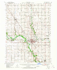
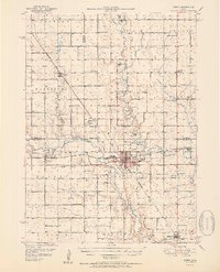
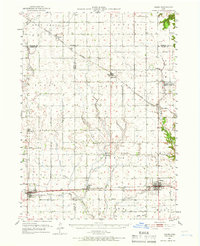
Other maps of this area

1911 · Madrid
USGS Topo · 1:62,500

1914 · Madrid
USGS Topo · 1:62,500

1916 · Boone
USGS Topo · 1:62,500
1923 · Lehigh
USGS Topo · 1:62,500

1923 · Fort Dodge
USGS Topo · 1:62,500
1950 · Perry
USGS Topo · 1:62,500
1951 · Perry
USGS Topo · 1:62,500
1951 · Ogden
USGS Topo · 1:62,500
1954 · Bagley
USGS Topo · 1:62,500

1954 · Fairmont
USGS Topo · 1:250,000