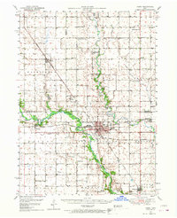
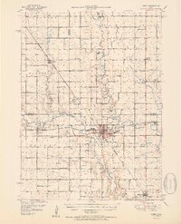
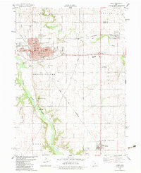
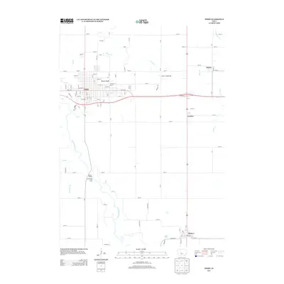
1950 Map of Perry
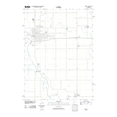
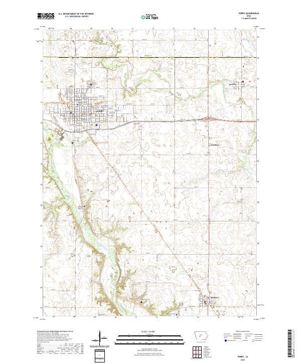
USGS Topo · Published 1968About this map
The North Raccoon River carves a deep valley through the heart of the central Iowa prairie, creating a sharp contrast with the surrounding gridded agricultural lands of Perry and Dawson. During the mid-century, this landscape was defined by its intensive rail network, with the Chicago Milwaukee St Paul and Pacific and the Minneapolis and St Louis railroads intersecting near the river's edge. The presence of multiple locations marked Inactive Mine near the settlement of Angus points to the area's history of coal extraction, which supported the rail-and-river economy before the shift toward modern agribusiness.
Find a feature on this map
52 named features on this map. Tap any name to fly to it.
Don’t see what you’re looking for? This feature index may not catch every label — zoom into the map to look around manually.
Map Details
Editions of this 1950 Perry Map
This is the sole edition of this map. No revisions or reprints were ever made.
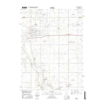
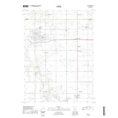
Historical Maps of Perry Through Time
8 maps found
Featured Locations
- Bouton, Beaver Township
- Minburn, Sugar Grove Township
- Perry, Spring Valley Township
- Dawson, Dallas Township
- Rippey, Washington Township