Old Maps of Spencer, Iowa
Explore 27 old maps of Spencer, spanning from 1954 to today. These high-resolution historic maps reveal how streets, neighborhoods, landmarks, and natural features evolved over time — perfect for genealogy, metal detecting, research, and local history exploration.
What you can do with these maps:
- See how Spencer changed over time: Compare historical maps to modern-day views to trace roads, homesites, rail lines & more.
- View detailed metadata: Each map includes creators, publishers, year, scale, and archive source.
- Overlay maps with satellite & LiDAR: Visualize the past alongside modern tools to explore terrain & human change.
- Trusted historical sources: Maps sourced from the USGS, Library of Congress, and other archives.
- Access maps your way: View online, download high-res files, or order prints for personal or research use.
Start exploring old maps of Spencer to uncover forgotten places, hidden landmarks, and the deep history beneath your feet.
Spencer, IA maps
(27)- 1954 Map of Fairmont, 1967 Print
 1954 Fairmont1967 Print · USGSThe prairie landscape of southern Minnesota and northern Iowa comes alive in this mid-century survey of the Coteau des Prairies. Genealogists and historians can trace the rail-connected growth of Fairmont and Blue Earth or locate family roots near St Kilian Ch and Union Slough National Wildlife Refuge.3 unique versions available
 - 1958 Map of Fairmont
 1958 Fairmont1958 Print · USGSThe borderlands of southern Minnesota and northern Iowa come alive in the mid-1950s, showing a landscape defined by glacial lakes and rail-line commerce. Researchers can trace historic landmarks like Lakeside Laboratory, Gridley Station, and the Bancroft Wildlife Refuge across the prairie.
 - 1966 Map of Spencer, 1967 Print
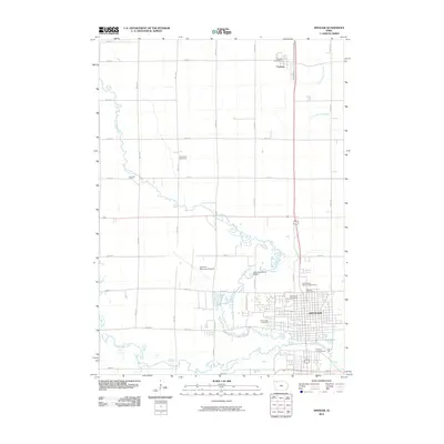
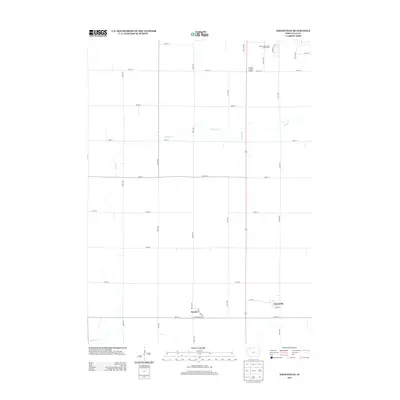
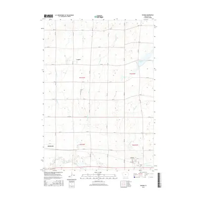
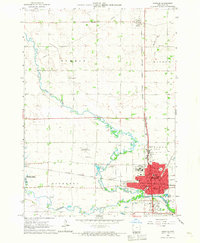 1966 Spencer1967 Print · USGSSpencer and the surrounding Clay County prairies thrived as a rail and river hub in the mid-1960s. Genealogists and local historians can trace legacy sites like Riverside Cemetery, local schools such as North School, and landmarks including the County Fairground.2 unique versions available
 - 1966 Map of Gillett Grove, 1967 Print
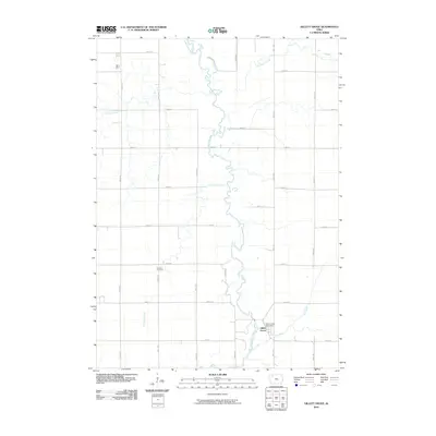
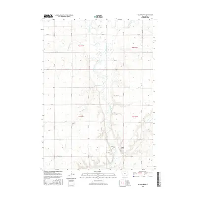
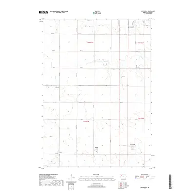
 1966 Gillett Grove1967 Print · USGSClay County's rural landscape is captured here in the mid-1960s as the river-and-rail economy centered on Gillett Grove remained in full swing. Researchers can trace the Chicago Milwaukee St Paul and Pacific railroad line or find the Rose Hill Cem.
 - 1966 Map of Greenville, 1967 Print
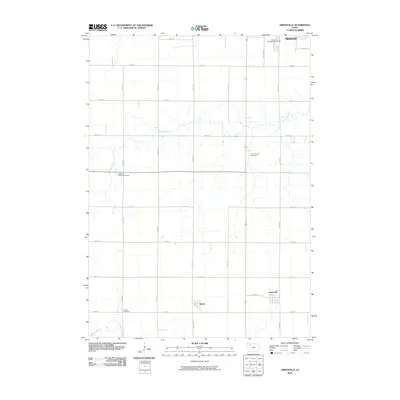
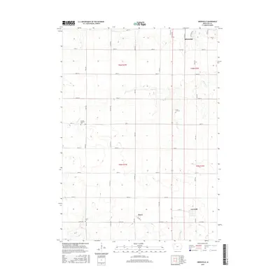
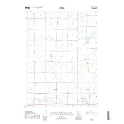
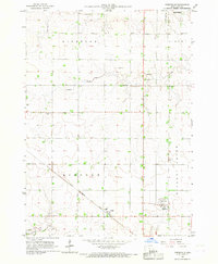 1966 Greenville1967 Print · USGSClay County's rural landscape is captured here in the mid-sixties, dominated by the diagonal path of the Chicago Rock Island and Pacific railroad. Genealogists can locate family sites at Lincoln Cem and Lutheran Cem or trace the early plats of Rossie and Greenville.
 - 1966 Map of Dickens, 1967 Print
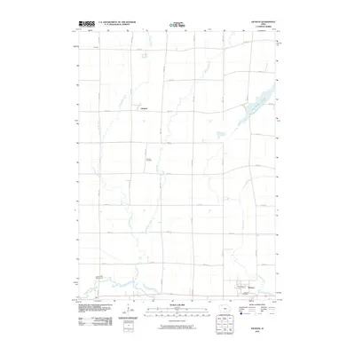
 1966 Dickens1967 Print · USGSClay County's rural townships and rail corridors are preserved here as they appeared in the mid-1960s. Genealogists and local historians can trace the foundations of Dickens and Langdon or locate landmarks like Fairview Cem and Kingdom Hall.
 - 1985 Map of Iowa Great Lakes
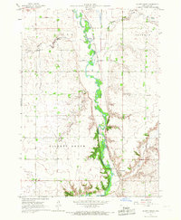
 1985 Iowa Great Lakes1985 Print · USGSNorthwest Iowa’s glacial lakes and prairie towns are captured here in the mid-1980s, showing a landscape balanced between agriculture and lakeside recreation. Genealogists and historians can locate family sites near Holman Cem or trace the early rail corridors of the Chicago and North Western and the Chicago Milwaukee St Paul and Pacific.2 unique versions available
 - 2010 Map of Gillett Grove, 2010 Print
 2010 Gillett Grove2010 Print · USGSCovers Spencer, including Gillett Grove, Clay County, and other nearby areas
 - 2010 Map of Greenville, 2010 Print
 2010 Greenville2010 Print · USGSCovers Spencer, including Greenville, Rossie, and other nearby areas
 - 2010 Map of Spencer, 2010 Print
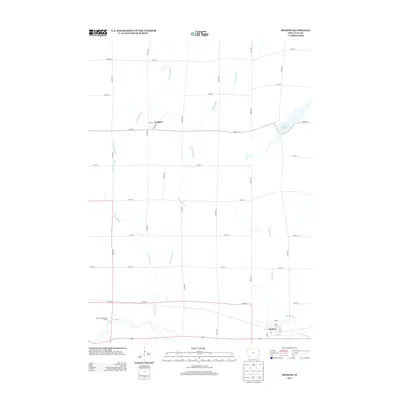
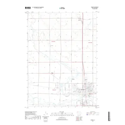
 2010 Spencer2010 Print · USGSCovers Spencer, including Fostoria, Birchwood Estates, and other nearby areas
 - 2010 Map of Dickens, 2010 Print
 2010 Dickens2010 Print · USGSCovers Spencer, including Dickens, Langdon, and other nearby areas
 - 2013 Map of Greenville, 2013 Print
 2013 Greenville2013 Print · USGSCovers Spencer, including Greenville, Rossie, and other nearby areas
 - 2013 Map of Dickens, 2013 Print
 2013 Dickens2013 Print · USGSCovers Spencer, including Dickens, Langdon, and other nearby areas
 - 2013 Map of Spencer, 2013 Print
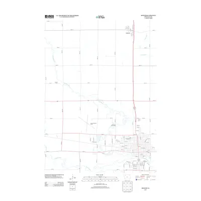 2013 Spencer2013 Print · USGSCovers Spencer, including Fostoria, Birchwood Estates, and other nearby areas
 - 2013 Map of Gillett Grove, 2013 Print
 2013 Gillett Grove2013 Print · USGSCovers Spencer, including Gillett Grove, Clay County, and other nearby areas
 - 2015 Map of Greenville, 2015 Print
 2015 Greenville2015 Print · USGSCovers Spencer, including Greenville, Rossie, and other nearby areas
 - 2015 Map of Gillett Grove, 2015 Print
 2015 Gillett Grove2015 Print · USGSCovers Spencer, including Gillett Grove, Clay County, and other nearby areas
 - 2015 Map of Dickens, 2015 Print
 2015 Dickens2015 Print · USGSCovers Spencer, including Dickens, Langdon, and other nearby areas
 - 2015 Map of Spencer, 2015 Print
 2015 Spencer2015 Print · USGSCovers Spencer, including Fostoria, Birchwood Estates, and other nearby areas
 - 2018 Map of Spencer, 2018 Print
 2018 Spencer2018 Print · USGSCovers Spencer, including Fostoria, Birchwood Estates, and other nearby areas
 - 2018 Map of Gillett Grove, 2018 Print
 2018 Gillett Grove2018 Print · USGSCovers Spencer, including Gillett Grove, Clay County, and other nearby areas
 - 2018 Map of Dickens, 2018 Print
 2018 Dickens2018 Print · USGSCovers Spencer, including Dickens, Langdon, and other nearby areas
 - 2018 Map of Greenville, 2018 Print
 2018 Greenville2018 Print · USGSCovers Spencer, including Greenville, Rossie, and other nearby areas
 - 2022 Map of Spencer, 2022 Print
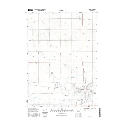
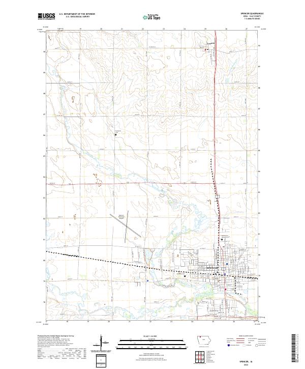 2022 Spencer2022 Print · USGSClay County’s agricultural and civic center is captured in the early 2020s as Spencer continues its role as a regional hub. Researchers can locate established landmarks like the Clay County Courthouse and trace the paths of the Little Sioux River and Ocheyedan River.
 - 2022 Map of Gillett Grove, 2022 Print
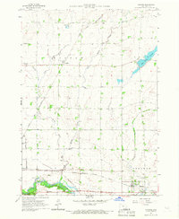
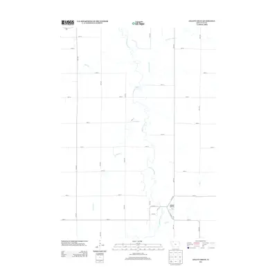
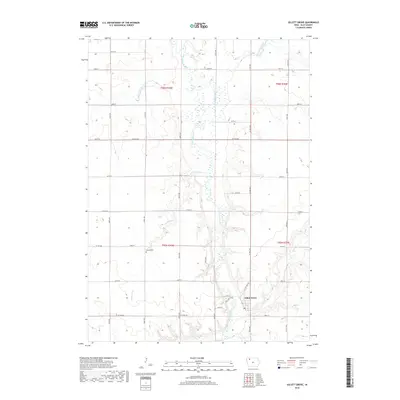
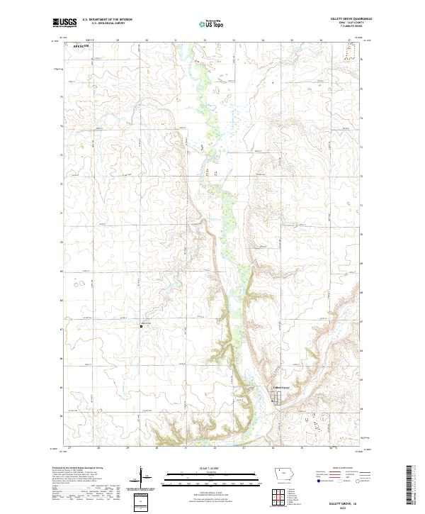 2022 Gillett Grove2022 Print · USGSClay County at the start of the 2020s remains a landscape defined by the winding Little Sioux River and organized rural townships. Researchers can trace the layout of Gillett Grove, locate the Rosehill Cem, and follow the path of Elk Cr.
Showing maps 1-25 of 27
Top cities near Spencer
- Milford historical maps
- Arnolds Park historical maps
- Okoboji historical maps
- Everly historical maps
- Royal historical maps
- Wahpeton historical maps
See more
Top neighborhoods of Spencer
Frequently asked questions
- What are the different types of historical maps available for Spencer?
- What is the oldest map of Spencer?
- Where can I purchase historical maps of Spencer for my home or office?
- Where can I download high-res historical maps of Spencer?
- Are there historical topographic maps available for Spencer?
- Is there historical aerial imagery available for Spencer?
- Where are historical maps of Spencer sourced from?