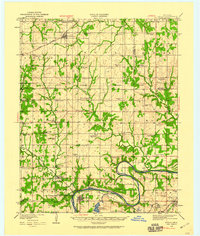
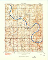
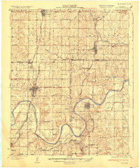
1929 Map of Ripley
USGS Topo · Published 1959About this map
Cimarron River loops through the southern half of this landscape, its wide channel and shifting sandbars defining the geography near the town of Ripley. Surveyed in the late 1920s, the map reveals a rural Oklahoma economy transitioning from early frontier settlement to more established agricultural and early industrial patterns. The Atchison Topeka and Santa Fe railroad corridor serves as the primary artery for movement, connecting small hubs like Mehan and Glencoe.
Find a feature on this map
67 named features on this map. Tap any name to fly to it.
Don’t see what you’re looking for? This feature index may not catch every label — zoom into the map to look around manually.
Map Details
Editions of this 1929 Ripley Map
This is the sole edition of this map. No revisions or reprints were ever made.
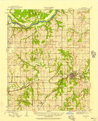
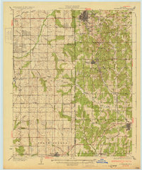
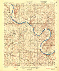
Other maps of this area
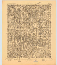
1893 · Stillwater
USGS Topo · 1:62,500
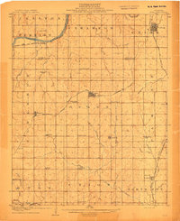
1908 · Agra
USGS Topo · 1:62,500

1909 · Perkins
USGS Topo · 1:62,500
1929 · Yale
USGS Topo · 1:62,500
1929 · Skedee
USGS Topo · 1:62,500
1930 · Pawnee
USGS Topo · 1:62,500
1931 · Drumright
USGS Topo · 1:62,500
1931 · Skedee
USGS Topo · 1:62,500
1932 · Yale
USGS Topo · 1:62,500
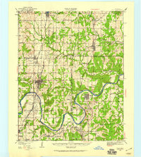
1932 · Ripley
USGS Topo · 1:62,500