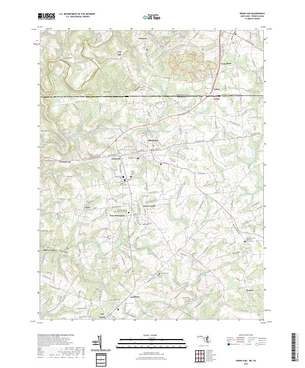
2023 Map of Rising Sun
USGS Topo · Published 2023About this map
Rising Sun serves as the focal point of this Maryland and Pennsylvania borderland, where the terrain is defined by the winding course of Octoraro Creek and Principio Creek. The landscape preserves a dense network of small historic settlements and rural infrastructure, from Lees Mill in the north to the crossroads at Barnes Corner and Harrisville. The area's deep-rooted community history is visible through numerous family and denominational burial grounds, such as the Krauss Family Cem and the West Nottingham Presbyterian Church Cem.
Find a feature on this map
162 named features on this map. Tap any name to fly to it.
Don’t see what you’re looking for? This feature index may not catch every label — zoom into the map to look around manually.
Map Details
Editions of this 2023 Rising Sun Map
This is the sole edition of this map. No revisions or reprints were ever made.
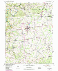
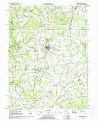
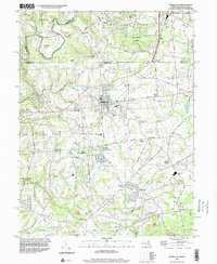
Historical Maps of Nottingham Fields Through Time
4 maps found