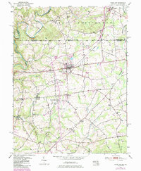
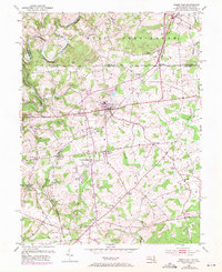
1953 Map of Rising Sun
USGS Topo · Published 1985About this map
Nottingham and the surrounding borderlands of Cecil County anchor this mid-century topographic survey, documenting a landscape defined by small rural hubs and agricultural crossroads along the Mason-Dixon Line. The map illustrates the distribution of historic communities like West Nottingham and Colora, connected by a network of winding roads and local streams. This edition includes significant revision work based on early 1980s aerial photography, capturing the expansion of residential footprints and changing land use in towns such as Woodlawn and Theodore. Further south, Richards Oak and College Green appear amidst the rolling topography, while the boundary settlements of Sylmar and Farmington mark the intersection of Maryland and Pennsylvania commerce. The mapping of cemeteries, schools, and local infrastructure provides a detailed framework for understanding the social geography of this Piedmont region during a period of steady post-war growth.
Find a feature on this map
9 named features on this map. Tap any name to fly to it.
Don’t see what you’re looking for? This feature index may not catch every label — zoom into the map to look around manually.
Map Details
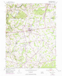
Editions of this 1953 Rising Sun Map
6 editions found
Other maps of this area

1898 · Elkton
USGS Topo · 1:62,500

1900 · Elkton
USGS Topo · 1:62,500

1900 · Havre De Grace
USGS Topo · 1:62,500

1904 · Coatesville
USGS Topo · 1:62,500

1906 · Coatesville
USGS Topo · 1:62,500

1912 · Quarryville
USGS Topo · 1:62,500

1917 · Elkton
USGS Topo · 1:62,500

1918 · Coatesville
USGS Topo · 1:62,500

1942 · Havre De Grace
USGS Topo · 1:62,500

1942 · Elkton
USGS Topo · 1:62,500
Featured Places
- Little Britain Township, PA
- Rising Sun, MD
- Mount Pleasant Acres, MD
- Mount Pleasant Manor, MD
- West Nottingham Township, PA