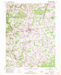
1953 Map of Rising Sun
USGS Topo · Published 1971About this map
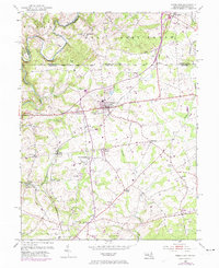
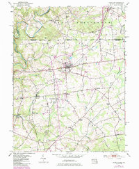
The Mason and Dixon Line serves as a prominent horizontal divider across this landscape, separating the townships of West Nottingham and Little Britain. The primary settlement of Rising Sun acts as a central hub, where the Penn Central railroad corridors and local roads converge. Rural life in the mid-20th century is deeply etched into the topography through numerous country houses of worship, including Union Church, Brookview Chapel, and Hopewell Church, alongside local education centers like Birmingham School.
Find a feature on this map
43 named features on this map. Tap any name to fly to it.
Don’t see what you’re looking for? This feature index may not catch every label — zoom into the map to look around manually.
Map Details
Editions of this 1953 Rising Sun Map
6 editions found
Other maps of this area

1898 · Elkton
USGS Topo · 1:62,500

1900 · Elkton
USGS Topo · 1:62,500

1900 · Havre De Grace
USGS Topo · 1:62,500

1904 · Coatesville
USGS Topo · 1:62,500

1906 · Coatesville
USGS Topo · 1:62,500

1912 · Quarryville
USGS Topo · 1:62,500

1917 · Elkton
USGS Topo · 1:62,500

1918 · Coatesville
USGS Topo · 1:62,500

1942 · Havre De Grace
USGS Topo · 1:62,500

1942 · Elkton
USGS Topo · 1:62,500
Featured Places
- Little Britain Township, PA
- Rising Sun, MD
- Mount Pleasant Acres, MD
- Mount Pleasant Manor, MD
- West Nottingham Township, PA