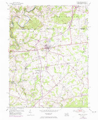
1953 Map of Rising Sun
USGS Topo · Published 1974About this map
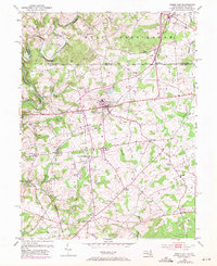
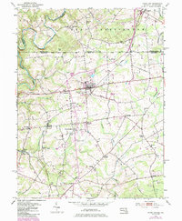
The Mason and Dixon Line serves as the focal point of this regional study, defining the boundary where Cecil County, Maryland, meets Chester and Lancaster Counties in Pennsylvania. The town of Rising Sun sits as a primary crossroads, where the Penn Central railroad corridor intersects with a network of rural routes connecting outlying hamlets. The landscape is dotted with centers of early community life, including West Nottingham, Harrisville, and Farmington, many of which grew around rural institutions like the New Bridge Ch and Union Ch. Significant watercourses such as Octoraro Creek and Principio Creek shaped the local economy, evidenced by sites like Lees Mill. This survey, updated with 1970s aerial revisions, captures the transition of the borderlands from a purely agricultural and milling district toward a more connected corridor featuring landmarks like the Oxford Airport and Speedway.
Find a feature on this map
43 named features on this map. Tap any name to fly to it.
Don’t see what you’re looking for? This feature index may not catch every label — zoom into the map to look around manually.
Map Details
Editions of this 1953 Rising Sun Map
6 editions found
Other maps of this area

1898 · Elkton
USGS Topo · 1:62,500

1900 · Elkton
USGS Topo · 1:62,500

1900 · Havre De Grace
USGS Topo · 1:62,500

1904 · Coatesville
USGS Topo · 1:62,500

1906 · Coatesville
USGS Topo · 1:62,500

1912 · Quarryville
USGS Topo · 1:62,500

1917 · Elkton
USGS Topo · 1:62,500

1918 · Coatesville
USGS Topo · 1:62,500

1942 · Havre De Grace
USGS Topo · 1:62,500

1942 · Elkton
USGS Topo · 1:62,500
Featured Places
- Little Britain Township, PA
- Rising Sun, MD
- Mount Pleasant Acres, MD
- Mount Pleasant Manor, MD
- West Nottingham Township, PA