
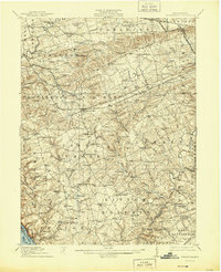
1912 Map of Quarryville
USGS Topo · Published 1912About this map
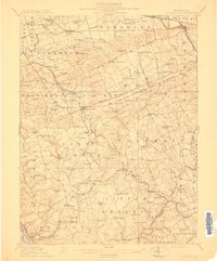
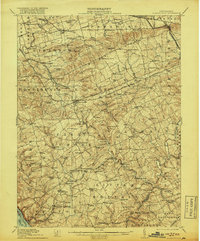
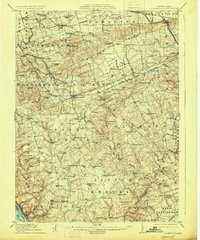
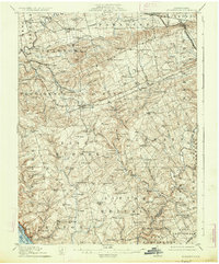
Mine Ridge dominates the northern landscape of this 1910 survey, providing a topographical backdrop to a region defined by its diverse transportation and industrial history. The area is heavily intersected by several branches of the Pennsylvania Railroad, including the Quarryville Branch and the Susquehanna Valley Branch, which served the local economy and mining interests at Nickel Mines. Along the waterways like Pequea Creek and West Branch Octoraro Creek, numerous mills such as Wheatland Mills and Conners Mill are documented, highlighting the early reliance on water power.
Find a feature on this map
145 named features on this map. Tap any name to fly to it.
Don’t see what you’re looking for? This feature index may not catch every label — zoom into the map to look around manually.
Map Details
Editions of this 1912 Quarryville Map
6 editions found
Other maps of this area

1898 · Elkton
USGS Topo · 1:62,500

1900 · Elkton
USGS Topo · 1:62,500

1900 · Havre De Grace
USGS Topo · 1:62,500

1901 · Belair
USGS Topo · 1:62,500

1902 · Lancaster
USGS Topo · 1:62,500

1904 · Lancaster
USGS Topo · 1:62,500

1904 · Coatesville
USGS Topo · 1:62,500

1905 · Honey Brook
USGS Topo · 1:62,500

1906 · Coatesville
USGS Topo · 1:62,500

1906 · New Holland
USGS Topo · 1:62,500
Featured Places
- West Lampeter Township, PA
- Willow Street, West Lampeter Township
- Paradise Township, PA
- Little Britain Township, PA
- Quarryville, PA