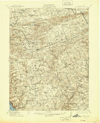
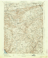
1912 Map of Quarryville
USGS Topo · Published 1944About this map
Quarryville and its surrounding townships in Lancaster County reveal a landscape defined by an intricate network of rural settlements and the industrial imprints of the early 20th century. The presence of Wheatland Mills, Conners Mill, and Kicks Mills points to a water-powered agricultural economy centered on local runs and creeks. Higher in the hills, Nickel Mines marks a distinct mining pocket, while several rail lines, including the Pennsylvania RR and the Lancaster and Quarryville RR, facilitate movement across the terrain.
Find a feature on this map
135 named features on this map. Tap any name to fly to it.
Don’t see what you’re looking for? This feature index may not catch every label — zoom into the map to look around manually.
Map Details
Editions of this 1912 Quarryville Map
6 editions found

Other maps of this area

1898 · Elkton
USGS Topo · 1:62,500

1900 · Elkton
USGS Topo · 1:62,500

1900 · Havre De Grace
USGS Topo · 1:62,500

1901 · Belair
USGS Topo · 1:62,500

1902 · Lancaster
USGS Topo · 1:62,500

1904 · Lancaster
USGS Topo · 1:62,500

1904 · Coatesville
USGS Topo · 1:62,500

1905 · Honey Brook
USGS Topo · 1:62,500

1906 · Coatesville
USGS Topo · 1:62,500

1906 · New Holland
USGS Topo · 1:62,500
Featured Places
- West Lampeter Township, PA
- Willow Street, West Lampeter Township
- Paradise Township, PA
- Little Britain Township, PA
- Quarryville, PA