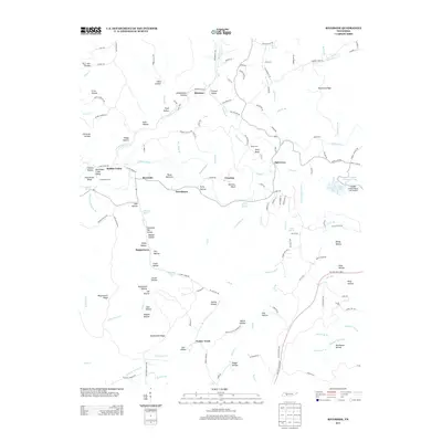
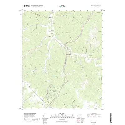
1936 Map of Riverside
USGS Topo · Published 1936About this map
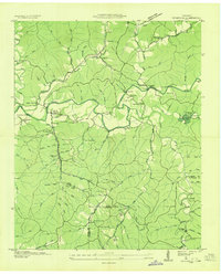
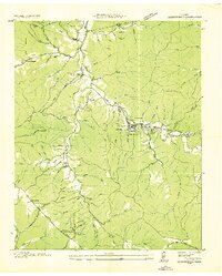
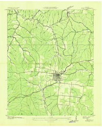
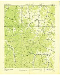
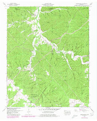
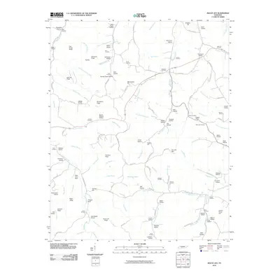
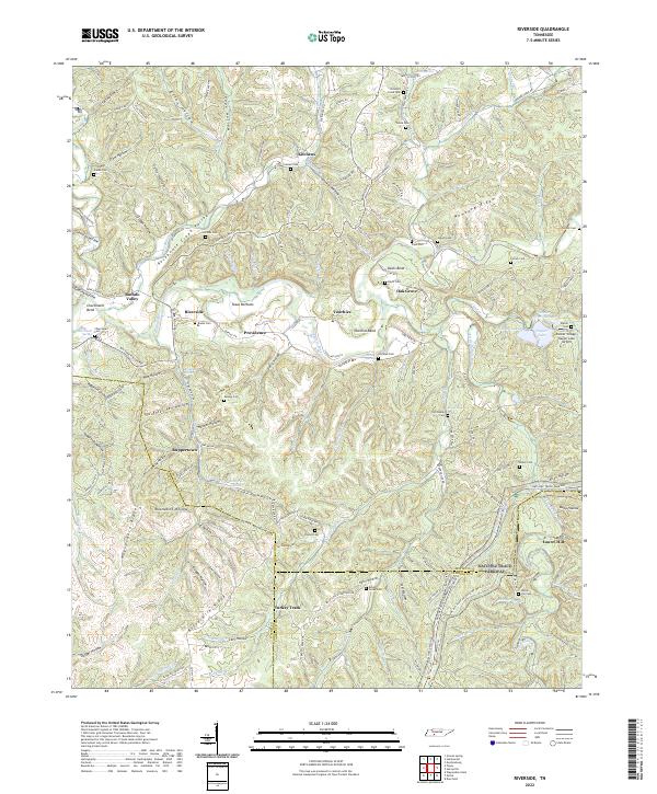
The Buffalo River and Little Buffalo River carve through the landscape of the Western Highland Rim in this mid-1930s survey. The map records a transition in the local economy, where an abandoned mine near Ruppertown and the Nashville Chattanooga & St L RR corridor reflect earlier industrial activity. Conversely, the presence of CCC Camp No 1472 near Laurel Hill points to the New Deal-era labor and conservation projects then active in the Tennessee Valley. Social life is anchored by a network of rural schools and churches, including Turkey Track Sch and Providence Ch. The convergence of Lewis, Wayne, and Lawrence county lines further identifies this area as a crossroads of the south-central Tennessee interior.
Find a feature on this map
86 named features on this map. Tap any name to fly to it.
Don’t see what you’re looking for? This feature index may not catch every label — zoom into the map to look around manually.
Map Details
Editions of this 1936 Riverside Map
This is the sole edition of this map. No revisions or reprints were ever made.
Historical Maps of Oak Grove Through Time
22 maps found
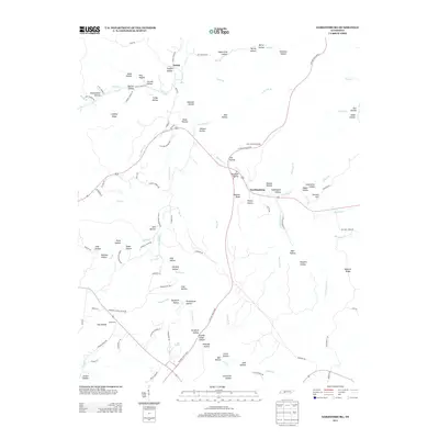
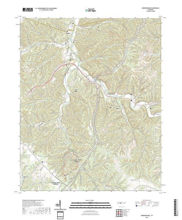
1936 Gordonsburg
Lewis County, TN
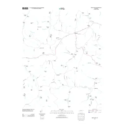
1936 Kimmins
Lewis County, TN
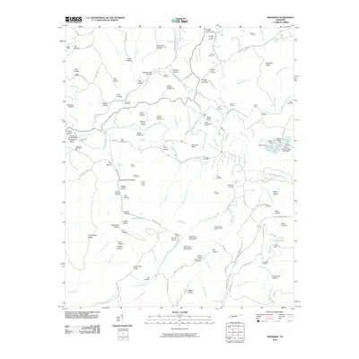
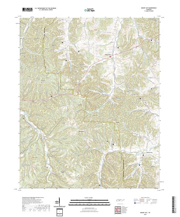
1936 Mt Joy
Lewis County, TN
1936 Riverside
Lewis County, TN
1951 Gordonsburg
Lewis County, TN
1951 Mt. Joy
Lewis County, TN
1951 Riverside
Lewis County, TN
2010 Gordonsburg
Lewis County, TN
2010 Mount Joy
Lewis County, TN
2010 Riverside
Lewis County, TN
2013 Gordonsburg
Lewis County, TN
2013 Mount Joy
Lewis County, TN
2013 Riverside
Lewis County, TN
2016 Gordonsburg
Lewis County, TN
2016 Mount Joy
Lewis County, TN
2016 Riverside
Lewis County, TN
2019 Gordonsburg
Lewis County, TN
2019 Mount Joy
Lewis County, TN
2019 Riverside
Lewis County, TN
2022 Gordonsburg
Lewis County, TN
2022 Mount Joy
Lewis County, TN
2022 Riverside
Lewis County, TN