Loading...
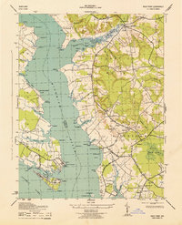
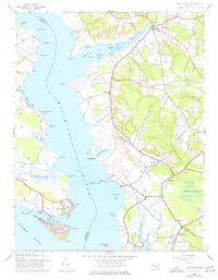
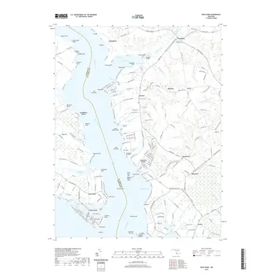
Loading map...1943 Map of Rock Point
USGS Topo · Published 1943About this map
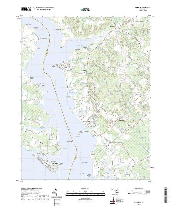
Whites Neck and Cobb Neck dominate this 1943 survey, where the Wicomico River meets the Potomac River along the shores of Charles and St. Marys counties. The landscape is defined by its maritime connections, evidenced by historic river access points like Bushwood Wharf and Lancaster Wharf. Settlement patterns follow the high ground and the water, with small communities such as Indiantown, Maddox, and Hurry connected by narrow roads like Coffee Hill Road.
Find a feature on this map
60 named features on this map. Tap any name to fly to it.
Don’t see what you’re looking for? This feature index may not catch every label — zoom into the map to look around manually.
Map Details
Date Portrayed1943
Date Published1943
PublisherU.S. Geological Survey
Map TypeTopographic
Scale1:31,680
Physical Dimensions17.1 x 21.1 inches
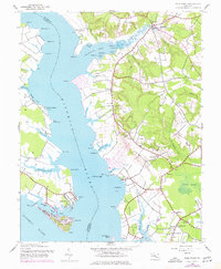
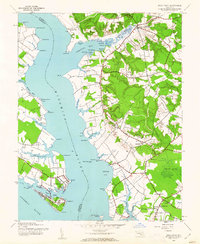
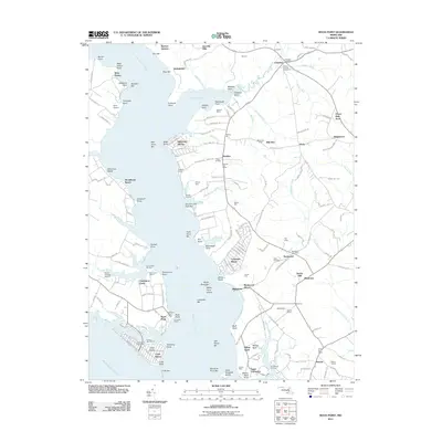
Editions of this 1943 Rock Point Map
6 editions found
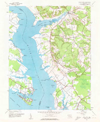

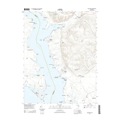
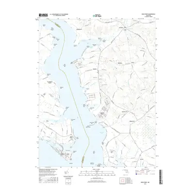
Historical Maps of Cobb Island Through Time
6 maps found
Featured Locations
Source Details
SourceU.S. Geological Survey
CopyrightPublic Domain