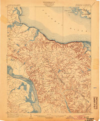
1892 Map of Montross
USGS Topo · Published 1892About this map
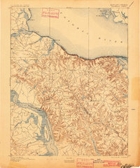
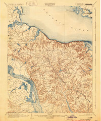
Montross and its surrounding agricultural and riverine landscape are captured here during the late nineteenth century, reflecting a period when tidal waterways were the primary conduits for commerce. This area of the Northern Neck is defined by its dramatic shoreline, particularly the Nomini Cliffs rising above the Potomac River. The map illustrates a network of critical landings and wharves, such as Massey Wharf, Wirt Wharf, and Carter Wharf, which served as vital points of exchange for local farmers. Inland, the terrain is deeply dissected by drainages like Cat Point Cr. and Pantico Run, with small settlements like Potomac Mills and Oak Grove established along the ridge-line roads. The proximity to the Rappahannock River on the southern edge of the sheet further emphasizes the peninsula's dual-river orientation, where maritime trade and rural life were inextricably linked.
Find a feature on this map
58 named features on this map. Tap any name to fly to it.
Don’t see what you’re looking for? This feature index may not catch every label — zoom into the map to look around manually.
Map Details
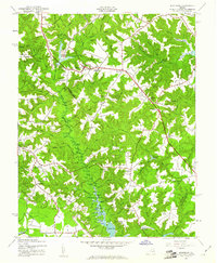
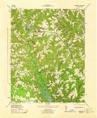
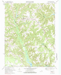
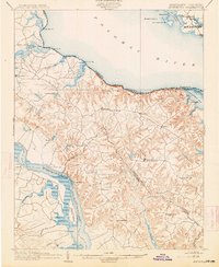
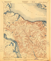
Editions of this 1892 Montross Map
5 editions found
Historical Maps of Colonial Beach Through Time
6 maps found