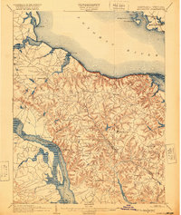
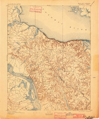
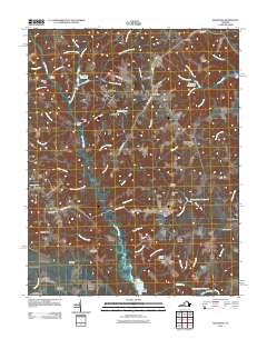
1892 Map of Montross
USGS Topo · Published 1920About this map
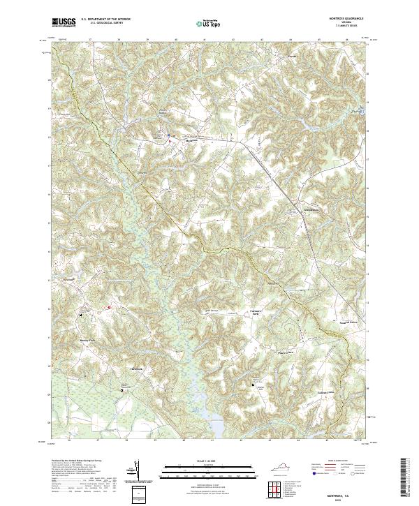
The Northern Neck of Virginia at the end of the nineteenth century is defined here by its dependence on the Potomac River and Rappahannock River. This area, encompassing parts of Westmoreland, Richmond, and Essex Counties, centers on the village of Montross. The landscape is a network of deep-cut drainages and agricultural lands, where commerce moved primarily by water. Steamboat era infrastructure is evident in the numerous landings and wharves, such as Nomini Landing, Massey Wharf, and Smith Mount Ldg., which served as the primary connection points for local producers.
Find a feature on this map
56 named features on this map. Tap any name to fly to it.
Don’t see what you’re looking for? This feature index may not catch every label — zoom into the map to look around manually.
Map Details
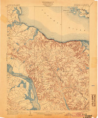
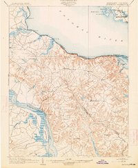
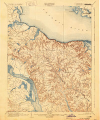
Editions of this 1892 Montross Map
5 editions found

Historical Maps of Colonial Beach Through Time
10 maps found
1892 Montross
Westmoreland County, VA
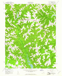
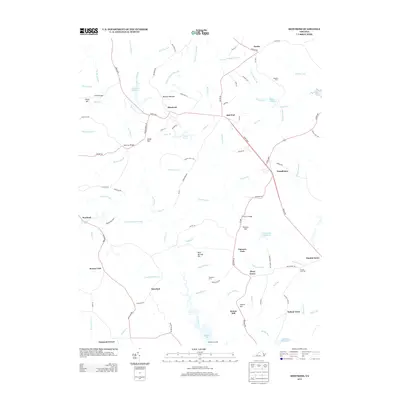
1895 Montross
Westmoreland County, VA
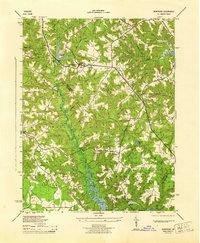
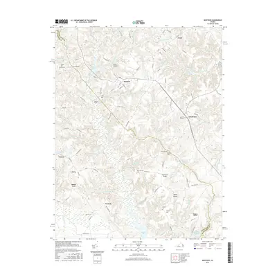
1943 Montross
Westmoreland County, VA
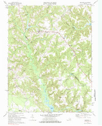
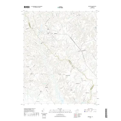
1944 Montross
Westmoreland County, VA
1968 Montross
Westmoreland County, VA
2011 Montross
Westmoreland County, VA
2013 Montross
Westmoreland County, VA
2016 Montross
Westmoreland County, VA
2019 Montross
Westmoreland County, VA
2022 Montross
Westmoreland County, VA