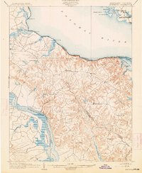
1892 Map of Montross
USGS Topo · Published 1914About this map
Montross and its surrounding Tidewater landscape define this late 19th-century survey of the Northern Neck peninsula. The map illustrates a maritime economy heavily dependent on river transit, with numerous landings and wharves such as Massey Wharf, Wirt Wharf, and Smith Mount Ldg. dotting the banks of the Potomac River and the Rappahannock River. Inland, the terrain is characterized by a dense network of creeks including Mattox Creek and Cat Point Cr., which carved the undulating topography leading up to Nomini Cliffs.
Find a feature on this map
61 named features on this map. Tap any name to fly to it.
Don’t see what you’re looking for? This feature index may not catch every label — zoom into the map to look around manually.
Map Details
Editions of this 1892 Montross Map
5 editions found
Other maps of this area

1889 · Fredericksburg
USGS Topo · 1:125,000

1892 · Leonardtown
USGS Topo · 1:62,500

1892 · Fredericksburg
USGS Topo · 1:125,000

1892 · Piney Point
USGS Topo · 1:62,500

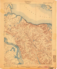
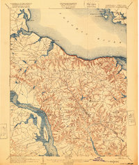
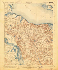
1892 · Montross
USGS Topo · 1:62,500

1894 · Wicomico
USGS Topo · 1:62,500

1894 · Fredericksburg
USGS Topo · 1:125,000

1894 · Piney Point
USGS Topo · 1:62,500

1895 · Wicomico
USGS Topo · 1:62,500

1895 · Leonardtown
USGS Topo · 1:62,500