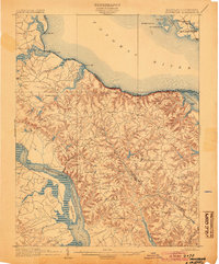
1892 Map of Montross
USGS Topo · Published 1904About this map
The Potomac River and Rappahannock River define this coastal landscape at the turn of the century, where the economy was tied to the tides and the many landings along the shore. Located in the Northern Neck of Virginia and crossing into Maryland, the area is marked by numerous maritime landmarks such as the Cobb Pt. Bar L.H. and various commercial docks including Massey Wharf and Carter Wharf. Inland, the terrain is deeply incised by creeks like Mattox Creek and Cat Point Cr, which separate the small agricultural and social hubs of Montross, Potomac Mills, and Oak Grove. The map captures the region's historic transition from river-based transport to a more established network of interior roads connecting older family-named sites like Foneswood and Oak Row.
Find a feature on this map
57 named features on this map. Tap any name to fly to it.
Don’t see what you’re looking for? This feature index may not catch every label — zoom into the map to look around manually.
Map Details
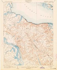
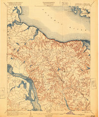
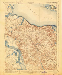
Editions of this 1892 Montross Map
5 editions found
Other maps of this area

1889 · Fredericksburg
USGS Topo · 1:125,000

1892 · Leonardtown
USGS Topo · 1:62,500

1892 · Fredericksburg
USGS Topo · 1:125,000

1892 · Piney Point
USGS Topo · 1:62,500

1892 · Montross
USGS Topo · 1:62,500

1894 · Wicomico
USGS Topo · 1:62,500

1894 · Fredericksburg
USGS Topo · 1:125,000

1894 · Piney Point
USGS Topo · 1:62,500

1895 · Wicomico
USGS Topo · 1:62,500

1895 · Leonardtown
USGS Topo · 1:62,500