2022 Map of Rockdale
USGS Topo · Published 2022About this map
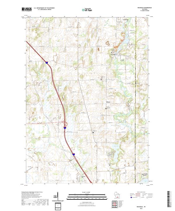
Koshkonong Creek winds through the eastern portion of this landscape, connecting the village of Cambridge and the small settlement of Rockdale. The surrounding area is defined by a high concentration of burial sites and religious landmarks that reflect the heritage of the region's early settlers, including the Rockdale Lutheran Church Cem and the Pioneer Norwegian Cem. Further south, the terrain opens into a series of interconnected water bodies such as Rice Lake, Sweet Lake, and Turtle Lake.
Find a feature on this map
55 named features on this map. Tap any name to fly to it.
Don’t see what you’re looking for? This feature index may not catch every label — zoom into the map to look around manually.
Map Details
Editions of this 2022 Rockdale Map
This is the sole edition of this map. No revisions or reprints were ever made.
