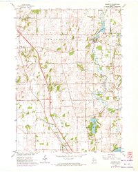
1961 Map of Rockdale
USGS Topo · Published 1972About this map
The winding Koshkonong Creek and Saunders Creek define the agricultural landscape of south-central Wisconsin in this detailed 1961 survey. The village of Rockdale sits alongside the Rockdale Millpond, while the southern reaches of the map show the transition from small rural settlements like Albion and Busseyville toward the northern tip of Lake Koshkonong at Olsons Bay. The region's Lutheran and pioneer heritage is evidenced by the prominent placement of East Koshkonong Church and Albion Prairie Church, alongside family and community burial grounds such as Evergreen Cemetery and Sweet Cemetery.
Find a feature on this map
41 named features on this map. Tap any name to fly to it.
Don’t see what you’re looking for? This feature index may not catch every label — zoom into the map to look around manually.
Map Details
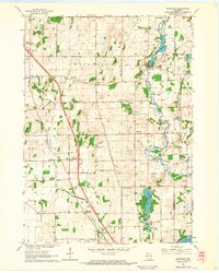
Editions of this 1961 Rockdale Map
2 editions found
Other maps of this area

1890 · Sun Prairie
USGS Topo · 1:62,500

1890 · Stoughton
USGS Topo · 1:62,500

1891 · Waterloo
USGS Topo · 1:62,500

1891 · Koshkonong
USGS Topo · 1:62,500

1894 · Waterloo
USGS Topo · 1:62,500

1894 · Koshkonong
USGS Topo · 1:62,500

1896 · Sun Prairie
USGS Topo · 1:62,500

1905 · Sun Prairie
USGS Topo · 1:62,500

1906 · Koshkonong
USGS Topo · 1:62,500

1907 · Sun Prairie
USGS Topo · 1:62,500